Hike 5: To Sefunim bat caves, up to the top of the ridge, and down along the Megadim cliff face.
| Hiking Time | 2.5 hours |
Blaze | Red, blue |
Trail # | 4174, 4175 |
Difficulty | Medium: small amount of rock climbing. |
Type of trail | All the trails are single file paths. |
Highlights | Sefunim bat caves (bring a flashlight), lots of Rock Hyrax (Procavia capensis) to watch, beautiful views of the sea, of the wadis, and of the cliffs. |
Problems | No problems with this trail. |
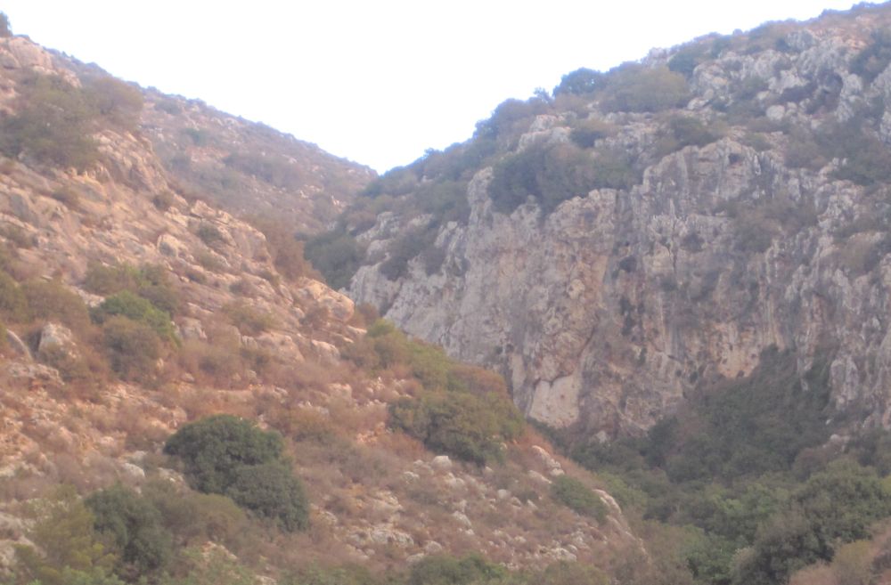
Cleaniness | Very clean except for three areas, one in the bottom of a branching wadi, and at two places on the top where groups stop and have lunch. |
Dec. 2010 Fire | Trail unaffected by fire. |
Trail Narrative
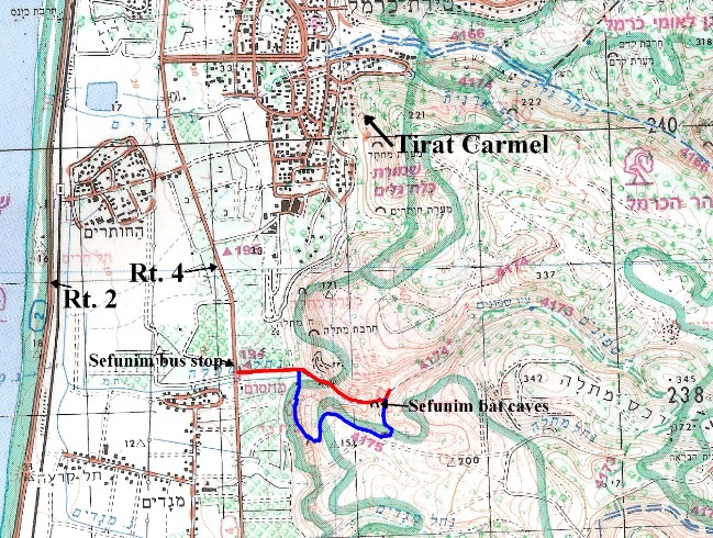
Walk away from the parking area and the sea (east) on the dirt road with tall trees bordering a banana plantation on your left (north). After a couple of minutes you will reach a gate. Go though the gate and close it behind you. Then go straight ahead up Nachal Sefunim on the red trail. You will pass an old abandoned mine built by the English. Listen for the high, bird like, alarm calls of the numerous Rock Hyrax (Procavia capensis) that live in the rocks on the left (north) side of the wadi. You can often see family groups if you look carefully towards their calls. After about 20 minutes of climbing you will reach the bat caves on your right (south). If you reach the junction of the blue trail you’ve gone too far, it is a minute back. You can hear the bats squeaking when you climb in the caves. It is permitted to briefly shine a flash light at them, but make sure not to disturb their roosting.
After you have explored the cave, continue a minute or two on the red trail until you reach the blue trail going off to the right (south).
Take the blue trail and climb the steep mountain to the top. Stop and enjoy the incredible views from this perch which feels like the top of the world. Then continue following the blue trail which goes west above the caves. After about 25 minutes you will descend into and quickly out of an unnamed branch of Nachal Sefunim.
The trail now meanders in a westerly direct on a plateau for about 30 minutes of walking time until you reach the Megadim cliffs overlooking the coastal plain. The trails follows the cliff edge at a safe distance until it reaches a gap.
Follow the trail south through the gap and along the side of the cliff. After a few minutes there is a shallow cave that is a nice place to stop and admire the view. A few minutes later the trail passes some ruins, and ends up at the gate below the old mine. Retrace your steps back to your car.
Getting to the trail and back:
By Bus:
Take bus 202, 221,or 947 (there are others) from the Hof HaCarmel Central bus station 9 stops to the Nachal Sefunim bus stop on Rt. 4.
By Car:
Drive to the Nachal Sefunim bus stop on Rt. 4. Park in the small parking area in from of the boulders which prevent driving into the area.
Pictures and video clip of the area
Looking up Nachal Sefunim at the beginning of the hike
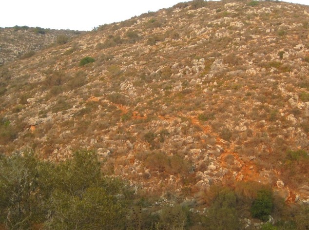
Looking back at the blue trail above the bat caves
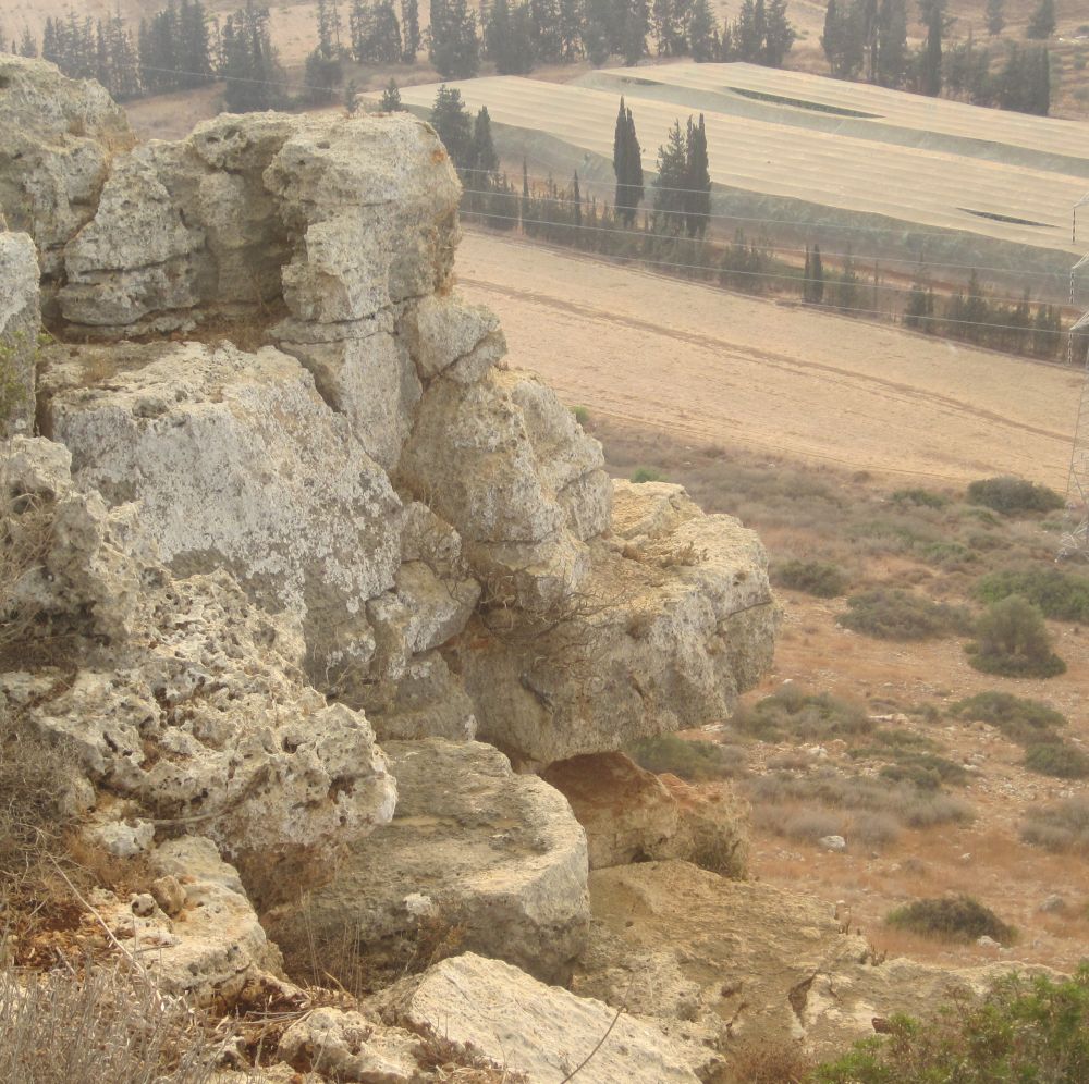
Edge of Megadim Cliff
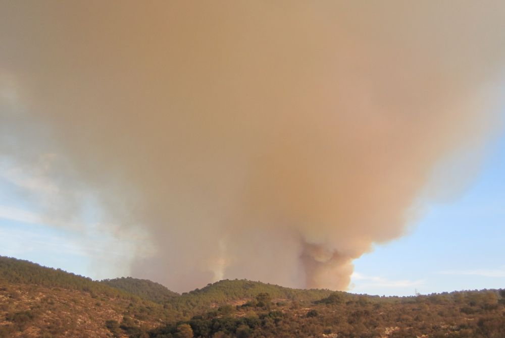
Carmel Mountain wildfire started while I was on this hike, but never reached this area.