Hike 4: Yagur Loop_2. Cliff edge trail along Nachal Yagur - easy path down.
| Hiking Time | 4 hours |
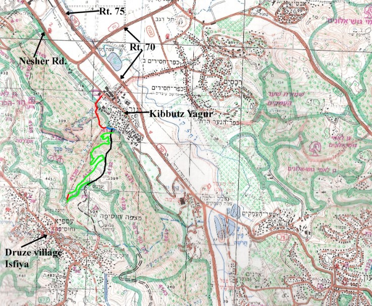
Blaze | Red, Blue, Green, Green, Black |
Trail # | 4130, 4129, 4135, 4128, 4132 |
Difficulty | Easy to Medium |
Type of trail | All the trails are single file paths except the second green trail which is a dirt road. |
Highlights | The green trail going up is gorgeous – literally – it skirts the impressive Yagur Ravine with incredible views of the cliffs on the other side. |
Problems | There are no real problems, however, if you were to reverse this loop and go up the black trail and down the green trail you would see a sign saying the green trail is being repaired and should not be hiked. The trail is actually in perfect shape, so I wonder why that sign is still there. |
Cleaniness | There were trashy areas on the green trail where it starts near Kibbutz Yagur. The red trail at the end of the green trail is also somewhat trashy. |
Dec 2010 Fire | Trail unaffected by fire. |
Remember to take out MORE than you bring in.
Trail Narrative
Go south toward the mountain from the parking area near the horse stables and go through a gate that has the Israel Trail Tri color blaze (orange blue and white) and a sign that has the green blaze and says “נשר” - Nesher. Right after the gate there will be a junction of three trails: The Israel trail and the red trail which go to the left (southeast) and the green trail which goes to the right (southwest).
Take the red trail. After a few minutes the Israel trail branches off to the right (southwest).
Take the red trail to the left (southeast). This goes steeply up and down a shoulder of the mountain. After about 25 minute you will come to the junction of the red and blue trails. The red trail goes straight up Nachal Yagur to the right (south).
Take the blue trail to the left (east). After about 10 minutes you will come to the junction with the black trail.
Take the black trail up the mountain to the right (south). Then after about 5 minutes you reach the green trail.
Take the green trail to the right (west). The green trail zigzags up the mountain on the edge of the Yagur Ravine to the right (west). There are spectacular views and the trail itself is lovely. It takes about 2 hours to reach the red trail.
Take the red trail up to your left (south) for a minute or two and you will be on the green blazed dirt road.
Go left (west) on the road for about 10 minutes until you reach the black trail.
Take the black trail down hill to your left (northeast). The black trail is a relatively easy trail straight down the mountain. It goes past several forestry dirt roads, make sure to stay on the trail and not on the road. It take less than an hour to return to the junction of this black trail with the red trail where you started up.
From here follow your tracks back the way you came.
Getting to the trail and back:
By Bus:
Take Bus 75, 180, or 185 from the HaifaBay Central Bus station to Kibbutz Yagur's Nursery - the fifteenth stop. From there walk about 2 km to the start of the hike in Kibbutz Yagur. (follow the link for an online map)
By Car:
Drive to Kibbutz Yagur which is at the end of the main road through Nesher (Rt 752). Take the first right after you go through the Kibbutz gate. That brings you into the parking lot near the riding stables. Park there.
Pictures from the Hike
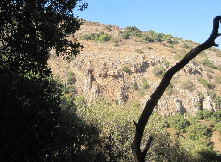
Cliffs across Nachal Yagur
Green trail # 4135
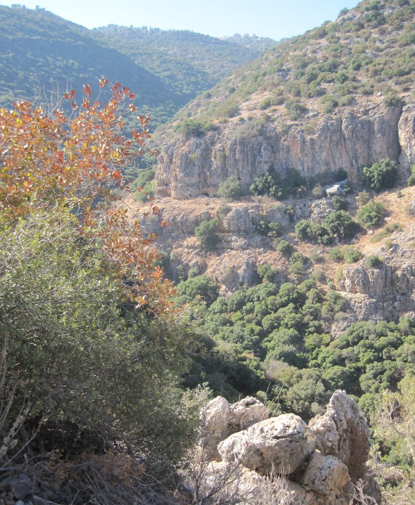
Looking up Nachal Yagur from the green trail
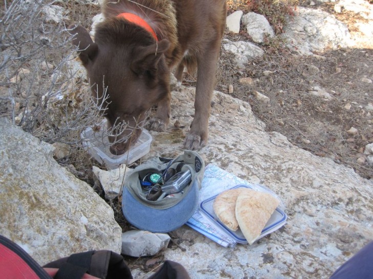
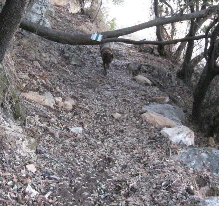
Taffy drinking while I'm getting ready to eat lunch
Back to Carmel Mountain Day Hikes main page
To Carmel Mountain day hike number 5