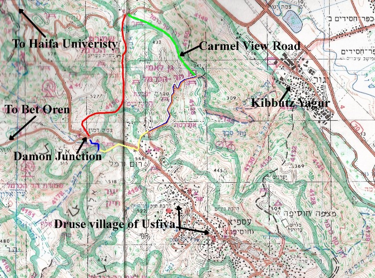
Hike 8: Red trail though magical valley, Wadi Nesher, Carmel View Road and up the Israel Trail.
| Hiking Time | 3 hours |
Blaze | Red, Green, Tri-Color, along road, blue |
Trail # | 4156, 4128, Israel Trail, along road, 4178 |
Difficulty | Medium to easy, slight rock climbing on red trail. |
Type of trail | Red trail is single file path, the rest are mainly dirt roads. |
Highlights | Picturesque, serene areas on red trail, lovely views, picnic grounds. |
Problems | No problems |
Cleaniness | Very clean except as usual around the picnic grounds where there is always some litter. |
Dec 2010 Carmel Fire | Not affected by fire. |
Remember to take out MORE than you bring in.
Trail Narrative (reviewed Feb 2012)
The red trail starts on the northwest side of Route 672 opposite the road going down to Bet Oren. Only 5 minutes from the road on the red trail and you walk into a wide rocky valley that feels like a magical kingdom away from all of life’s tribulations. After about 20 minutes of strolling through this beautiful area the trail joins a dirt road for few meters and then turns down hill to the left (west). After passing several small meadows that in the winter are full of Chamomile flowers, the trail go into the Nesher Wadi (river bed) where there are numerous small cliffs to clamber down. This area feels completely isolated from civilization. About one hour of walking brings you close to Route 7217, which winds its way up to the top of the Carmel from Nesher. Make sure to stay on the red trail parallel to the road so that you do not have to walk on the narrow road itself. A few more minutes will bring you to the beginning of the green trail with is actually a beautiful dirt road called Carmel View Road.
Take Carmel View Road towards the west. About half and hour walking will bring you to the picnic grounds where the Israel Trail crosses the road. I had my lunch there.
Then follow the Tri-Color, orange blue white Israel Trail, uphill through the picnic grounds to the southeast. The Israel Trail is a single file path for about 20 minutes and then joins a dirt road which passes through a forest of very tall cedars and cypress trees. Soon you will pass several memorials for fallen soldiers. Then another 10 minutes on a paved road brings you to a bunch of large beautiful stone houses belonging to the outskirts of Usfiya. At the first house take the road towards the right. The Israel trail goes towards the left. I have indicated this part of the hike on the map in yellow. There are no blazes. Stay on the road going straight ahead (south) and in a minute you will be on Rt. 672 the main road from the University to the Druze villages. Turn right (east) towards the University and Damon Junction and stay on the sidewalk on the right side of the road. At the end of the side walk carefully cross the road and walk on to a dirt road that parallels the main road.
Take this dirt road which in a few minutes joins a blue trail, this goes past a picnic area and a few minutes further brings you to the parking lot where you started.
Getting to the trail and back:
By Bus:
Take Bus 37 aleph to the Damon junction, this is the second stop after the University. The 37 bus starts down in Bat Galim, goes through Hadar, Central Carmel, Ahuza and ends either at the University or if it is a 37 Aleph goes all the way to the Druze villages.
By Car:
Damon Junction is about 2 kilometers past the University. Directly after the right turn towards Bet Oren there is an opening in the fence into a parking area.
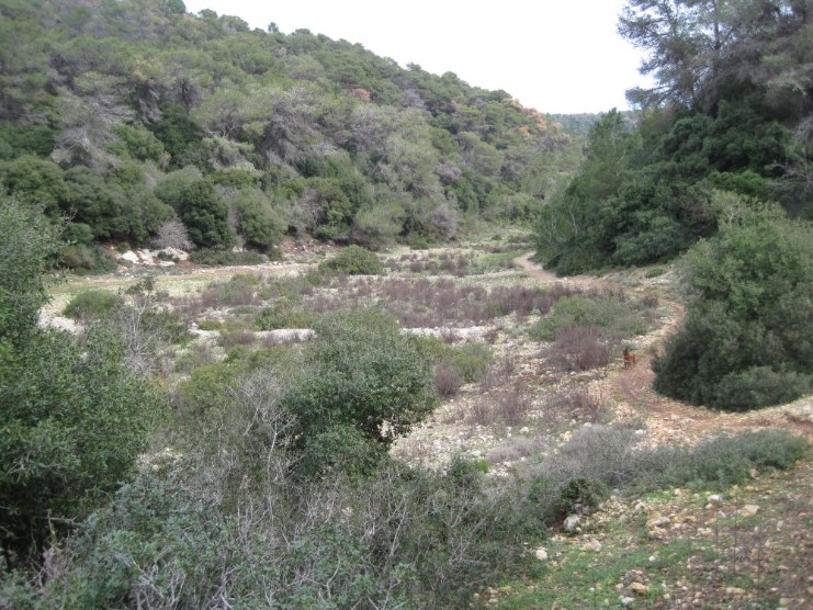
Pictures from the hike
Beautiful valley on red trail 4156 near the Damon Junction
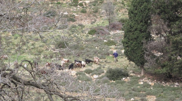
Goat herder with his goats
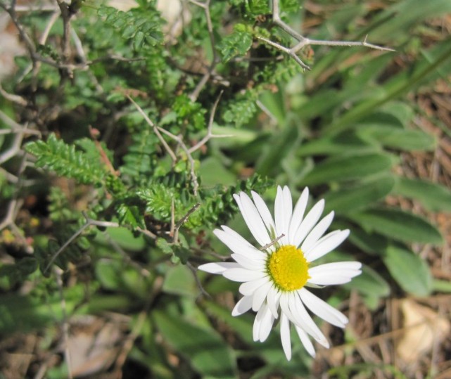
Chamomile flower
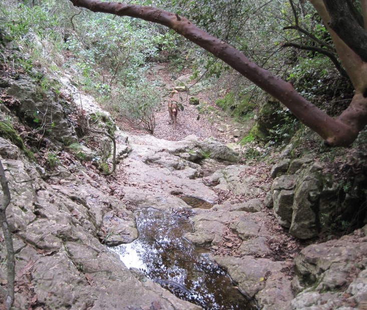
The narrow path in Wadi Nesher
Back to the Carmel Mountian Day Hikes home page
To Carmel Mountain day hike number 9