Tuesday March 12th 2013
There were no buses that arrived at the Shizafon Base early enough, so we drove to Shizafon. When we finished the hike, we planned to take a bus from our end point at Timna to Eilat and then back to the car. Since we were driving we had the luxury of bringing a thermos of hot strong coffee and thick buttered slices of Don’s homemade Russian black bread which we enjoyed while I drove through the darkness before dawn.
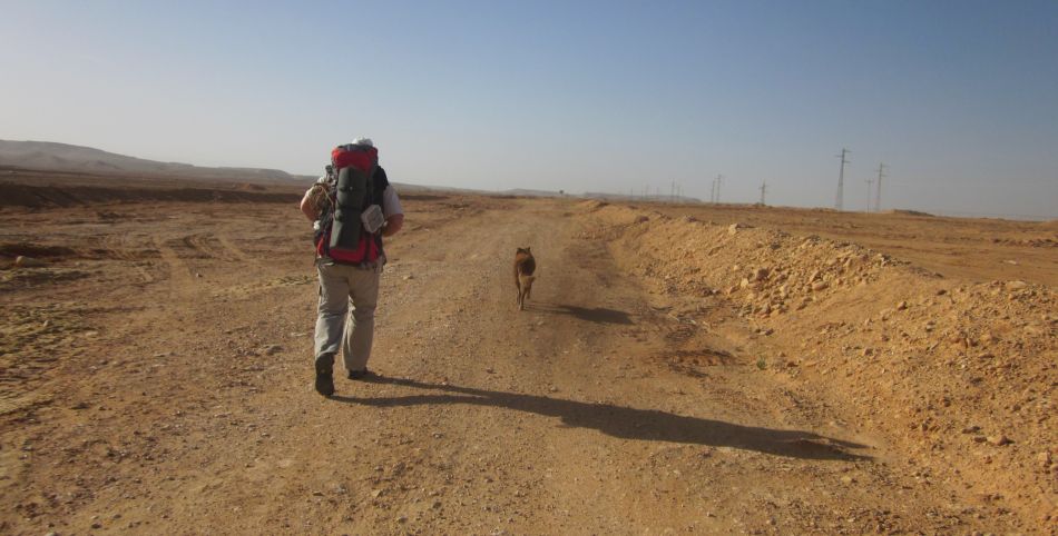
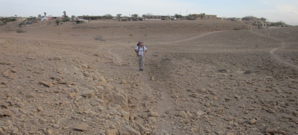
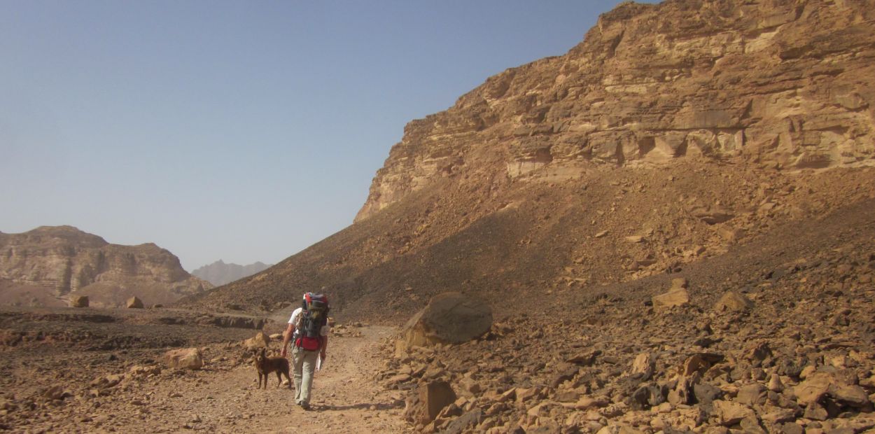
About an hour from Shizafon I started to feel sick to my stomach and we had to stop several times. We still arrived before 8 am, but though I felt better by the time we got to the base, I wasn't feeling100% . We easily found the Golan stone, hoisted our heavy packs on our backs, and headed south. As we passed the base we noticed “Veni, Vidi, Vici (we came, we saw, we conquered) painted in huge letters on a water tank. 
Don and Taffy walking South away from the Shizafon Base
The trail was flat and easy, running parallel to route 40. It took us about an hour and a half to reach the junction with route 12, where there was a store and café from Kibbutz Neot Smadar (נאות סמדר ). We stopped there for a cold bottle of apple juice, and looked around at the palm trees and fish ponds surrounded by desert. It was past 10 am when we left Neot Smadar and we began to feel that the day would be difficult. There was a Sharav (hot east wind) blowing up and it was already getting hot.
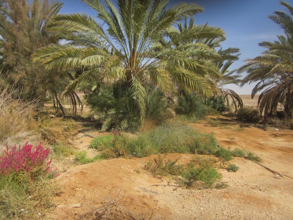
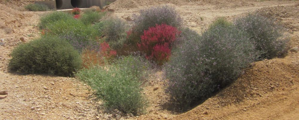
We walked on the flat trail near Route 12 as the wind picked up and the heat increased. It would have been as barren a landscape as can possibly be imagined except that at intervals there were little groves of palm trees and other flowering bushes.

One of many oasises planted and watered by the Jewish Agency
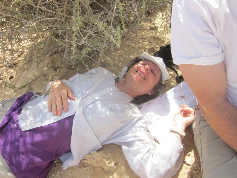
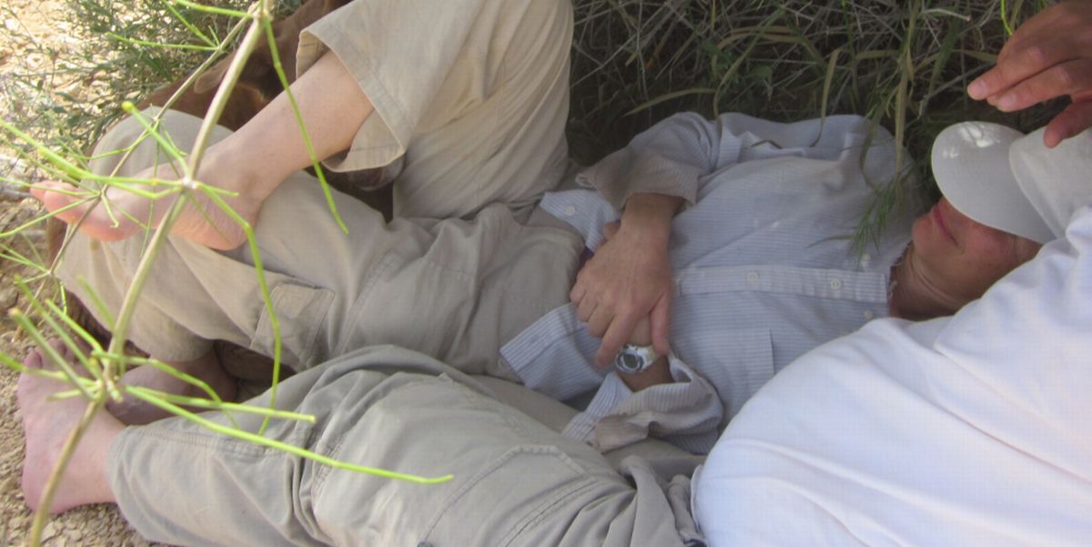
These oases were planted and watered by The Jewish Agency, and they provide habitat for large populations of singing birds and other animals. We sat in the shade of one of these places to rest and have a snack at around 11 am. Another hour of walking and the trail veered off of Rt. 12 and headed almost directly south. We found ourselves walking from one trail marker to the next with no path to follow, directly into the dry wind. If Don was ahead of me every step he took would send a cloud of dust right into my face so I had to find a way to walk abreast of him. I was not feeling one hundred percent to begin with, and now with the horrible dry heat, the terrible wind, and the seemingly endless way forward - I hit rock bottom. At that point there was nothing in my consciousness but suffering.
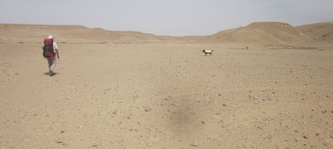
Don and Taffy - heat and desolation
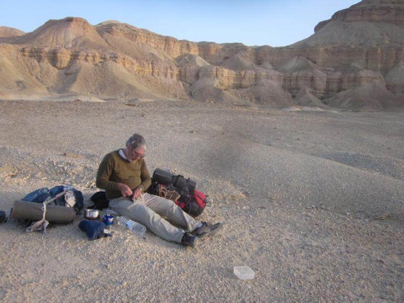
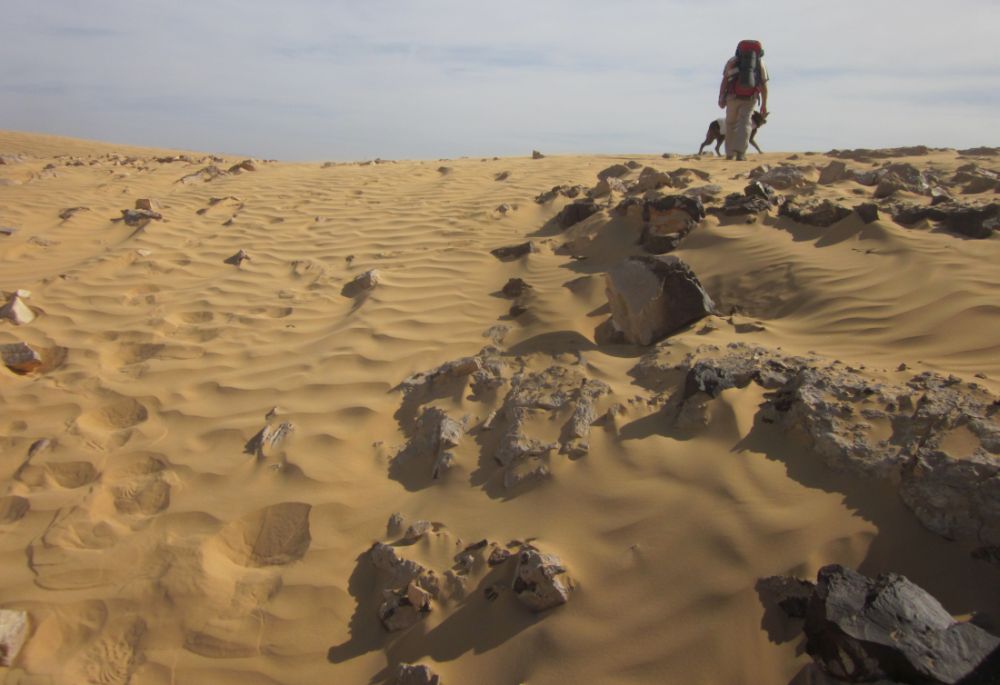
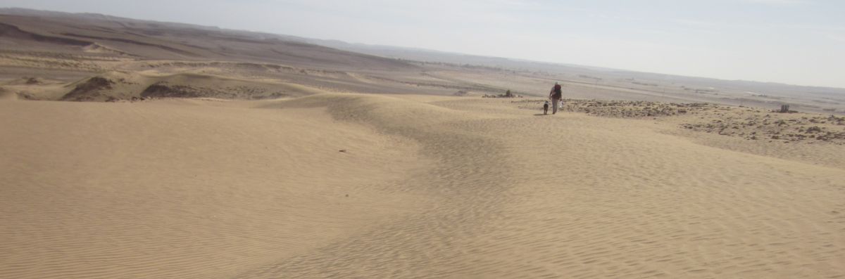
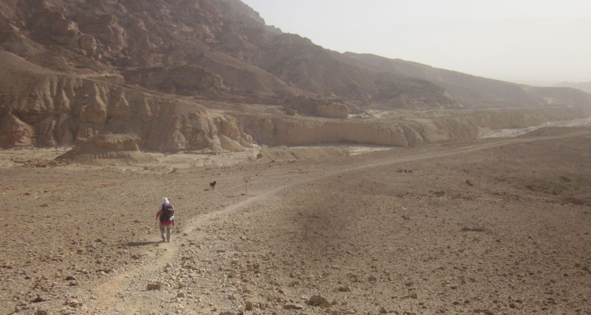
Finally at about 1 pm the trail started following the unmarked road to the Uvda Airbase and we found an underpass where there was shade and some protection from the wind, although there was still occasional gusts which blew dust and grit into our faces. We ate lunch there and rested. We left at 2 pm and for a while I felt better. We were now headed up the “sand dune” which is supposed to be the only sandy part of the Negev desert. There was some sand, but really it wasn't much different than the rest of the flint, sandstone mixture that was all around us.
Halfway up the hill when we stopped for water, we realized that we’d forgotten Taffy’s water dish in the underpass, and I stupidly ran back for it. I huffed back with the water bowl and we walked up the hill where I duly took pictures of the little area of sand rippling in the dry wind.
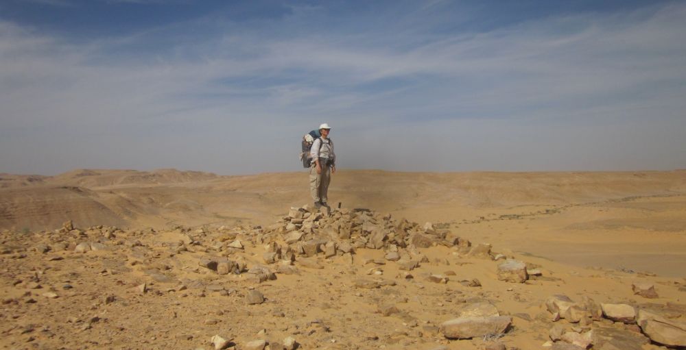
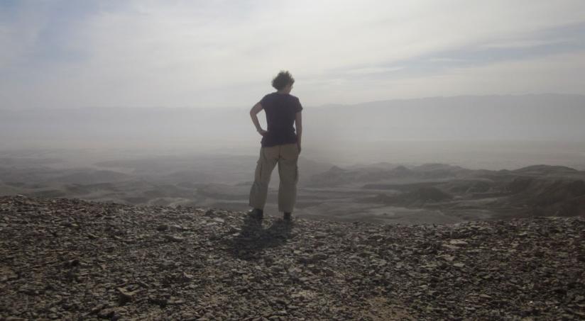
Diana on top of the dune in the dry hot wind
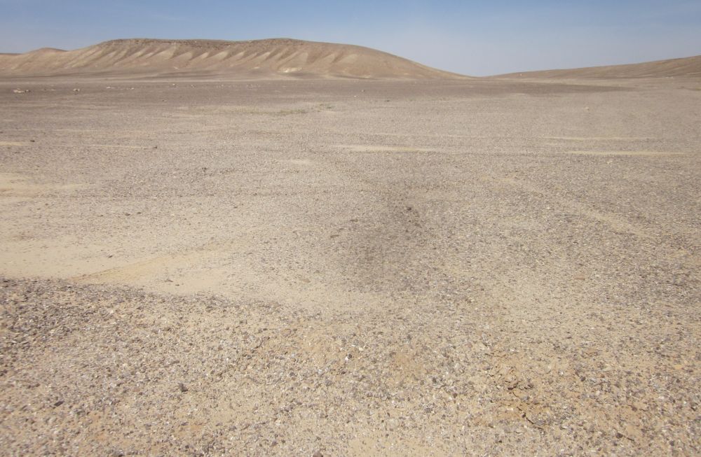
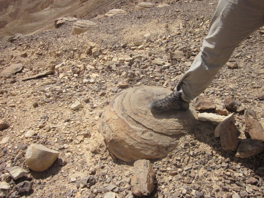
The view in all direction was unrelentingly barren. We drank all of our remaining water and walked down the other side of the hill to the road where we had stashed water. The water was thankfully right where we left it, and after a short rest we continued on the trail along the empty road. It was 4pm and Don and I felt better, it seemed to us from looking at the map and our recollection of the area when we stashed water, that we were quite close to our camping area near the small village of Shacharut. So with more cheer we walked almost due south along the road. There were several archaeological sites along the trail, one of them was called Leopard Sanctuary-Uvda, this temple was in use for 4,000 years from the Neolithic period in the mid 6th century BCE (before the common era) until the Bronze age in the 2 Century BCE. So the earliest remains are 7,500 years old. There is a brief Wikipedia description of this site in Hebrew, and another short paper in Hebrew. The book, “Israelite Religions: An Archaeological and Biblical Survey," by Richard S, Hess has a brief description of the site in English.
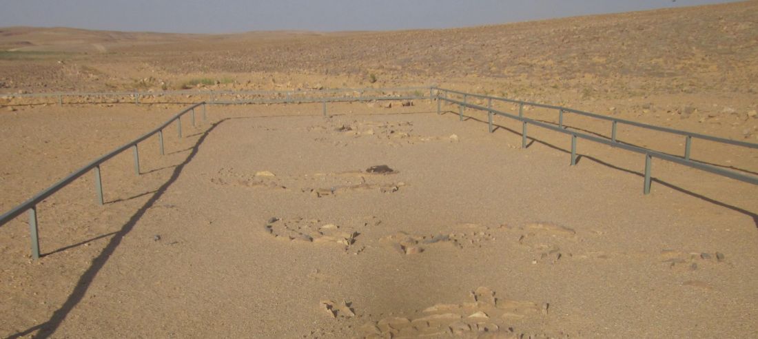
Ruins of prehistoric temple (Leopard's temple) מקדש הנמרים
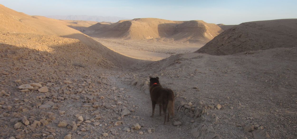
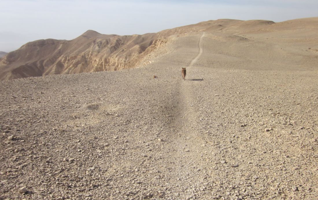
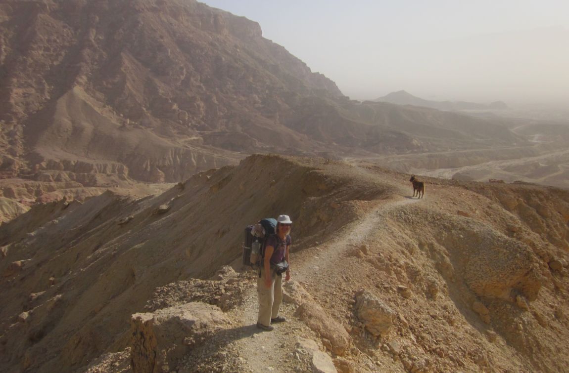
After we left Leopard Sanctuary it took us about half an hour to get to the tiny access road that veered eastward towards Shacharut away from Uvda. A few hundred meters from this junction the trail left the road, went up the ridge, and into the wilderness. By the time we reached the top it was already 5 pm, darkness was in less then an hour, and Don and I were spent. I considered camping where we were, but considering the terrible hot dry wind we didn't think we had enough water to get through a night. There was no choice but to keep on walking. In other circumstances this part of the hike would have been the best part of the day. We walked on a ridge with spectacular 360 degree views and then descended into a completely isolated wadi, but we were oblivious to the surrounding beauty.
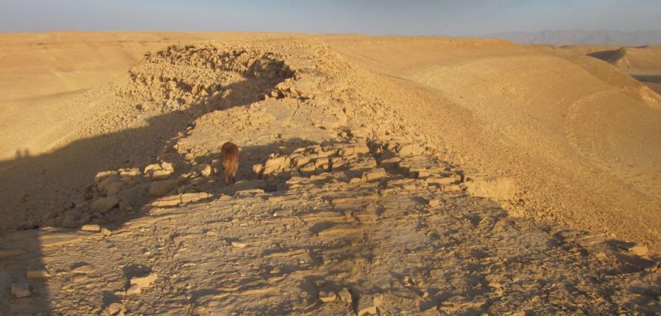
Taffy on the ridge north of Nachal Shacharut
Our thoughts were locked on getting to our stash before it became too dark to follow the trail or we collapsed from exhaustion.
Dusk was falling and it seemed we were back down and nearing the road, but the trail continued on and on into another shallow wadi. At 6 pm we walked out of the hills onto an absolutely flat area which seemed like a dried lake. The road was visible in the distance and by the time we reached it the stars were shinning. We limped along the road cursing ourselves for stashing the water so much further than we should have (distance is so different when you drive).
Finally using flash lights we found where the trail left the road towards the south over a little ridge and then at 6:40 Don managed to find our water the darkness. The endless day did end!
Wednesday 13 March 2013|
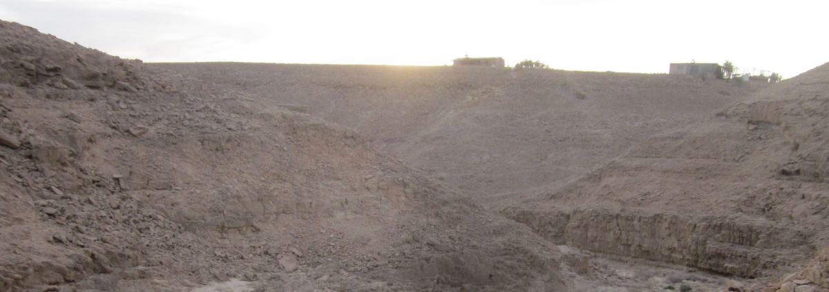
We slept later than we usually do on the trail, it was already past 6 am, and light when we hoisted out backpacks up and started. The trail curved up to the edge of the village of Shacharut and we were able to walk up the steep incline between two houses into the flat area in the middle of the town. Several dogs barked at us and then greeted Taffy, but there weren’t any people out yet. We wondered past a basketball court and soon found the town center where there were benches, offices, and wonderfully for us, open bathrooms. Don and I both took a sponge bath and washed our hair in the sink. All the encrusted grim and sweat from the day before was washed away and we felt it was a “New Morning” indeed. We needed enough water to last us until the end of the day since the trail ahead of us was completely inaccessible, so we carefully filled all our bottles and each of us carried 8 liters. Before we walked away with our heavy packs I left a thank you note on the office door.
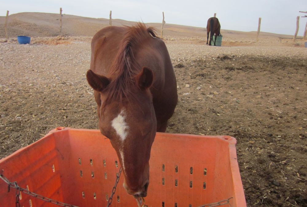
I noticed a paddock with two horses and went there to pet them and breath in their special smell. While I petted them I realized we had stumbled upon a desert paradise and that I had found the place where I wanted to build a house and live!

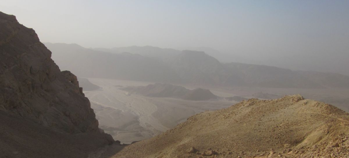
Horses at Shacharut - the Shacharus cliffs are in the distance
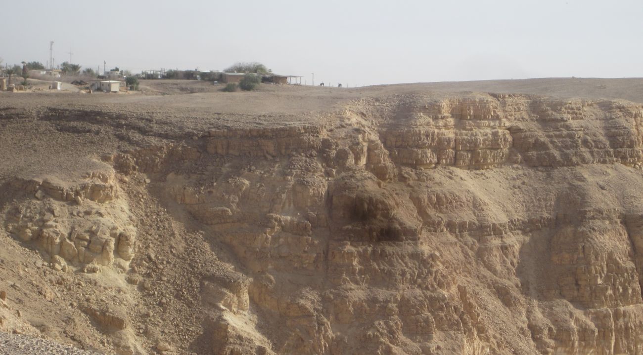
We thought of taking a short cut back to the trail around the paddocks, but even though we couldn't see any difficulties, the map indicated some extreme topography near by and wisely we went back the way we had come. We walked away towards the southeast and in about 10 minutes we found ourselves on the edge of the Shacharut cliffs which go straight down 200 – 300 meters to the Arava rift valley. We looked back and from this vantage point we could see that Shacharut sits right on the edge of these cliffs. Good thing we hadn't tried a short cut!
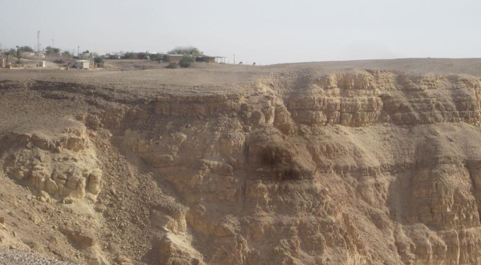
The village of Shacharut on the edge of the cliffs, horses barely visible.
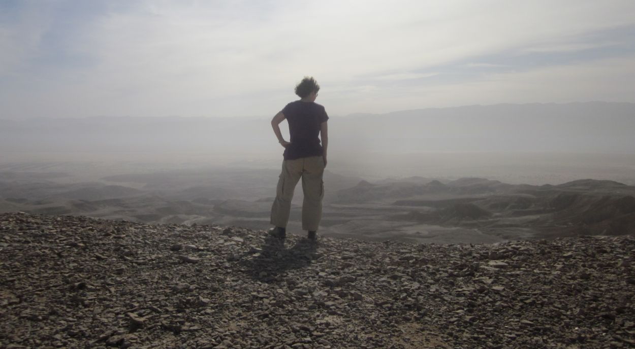
As we looked in wonder at the beauty of this wild place we took off our heavy packs and decided to have breakfast here. I stood by the cliffs looking eastward for many minutes while Don took some pictures and then made us our steaming hot, strong tea. I sat next to him, pealed our hard boiled eggs including one for Taffy. When we finished our tea and our eggs we put granola into our tea cups, filled them with milk, and munched on the sweet cereal. The sun warmed us from over the mountains of Jordan on the other side of the Arava, no sound came from Shacharut behind us, the trail went along the cliff southward waiting for us to finish eating.
I am happiest eating breakfast in the wild places of Israel with Don and Taffy by my side.
Diana silhouetted on the edge of the Shacharut cliffs before we ate breakfast
The trail was beautiful, skirting the cliffs going up and down across valleys that made their way down to the lowlands. We had two concerns as we walked on the perfect path. The first was that our water should last until we reached our next stash in the evening, and the second that we would find shade so that we could rest protected from the sun.
Soon the Israel Trail joined a newly opened Israel bike trail and we watched with some fascination as three bikers managed to peddle up a steep rough incline on a path about a third of a meter wide that wasn’t that easy to walk on let alone bike on. Yet they managed.
After about one kilometer of these trials being together, the Israel Trail separated from the bike trail and went down a relatively narrow wadi. We were picking our way down when another biker, a man perhaps 65 years old, biked down by us. I told him this was not longer the bike trail, and he laughed at me and said he lived in Shacharut and had been biking the trails these last ten years. As he went off ahead of us I told him how much I loved his village.
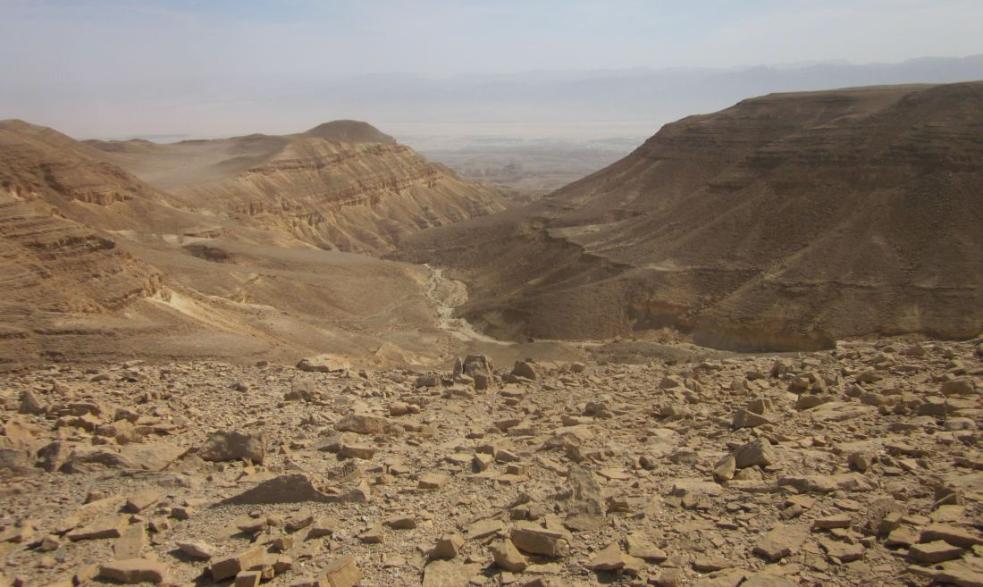
Wilderness with the Arava rift valley in the distance.
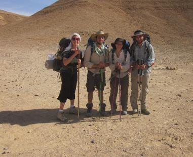
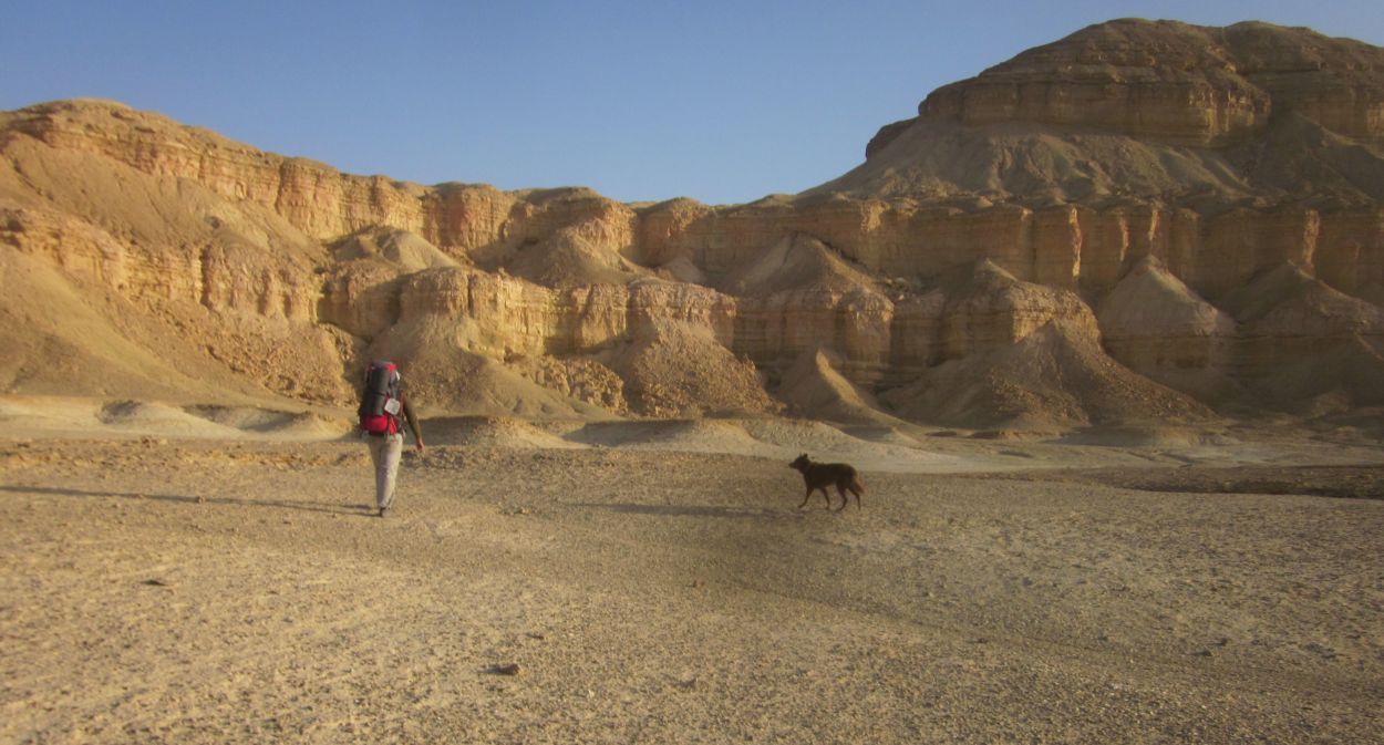
The wadi soon opened into a broad beautiful valley and there we met four hikers who had come from Eilat a week before. They were two young couples who seemed to he having a great time on the trail. We told them that Shacharut was about an hour away. They told us they planned to hitchhike past Shizafon. We took pictures of each other. And on we hiked, past strange round rock formations and expanses of barren landscape with no civilization in sight. Occasionally the trail would touch the cliffs and the view would become all encompassing.
Don Diana and Taffy in Nachal Zoogan (נחל זוגן)
Hikers from Eilat
At about 11 am we rested under a tiny bush. We both could get amazingly comfortable in the weirdest spaces. We munched on nuts and dates and after about 30 minutes we started again, walking on a perfect trail through an absolute wilderness.

Don and Diana resting in the shade of a low bush
In another 2 hours we found a dry stream bed with considerable vegetation where we stopped for lunch. We had become tired of the salami we usually ate on these hike so this time we’d brought cans of kippered herring which we ate on crackers. We ate this with cherry tomatoes, carrot sticks and for desert a half an orange each. The kippers tasted great while we ate them, but after we started walking again we both felt that we had to eat them again and again - yuk!
We hiked up and down the ridges passing shinning layers of crystals embedded in the sandstone. There were steep climbs and descents, but there was no climbing. The temperature was hot for March, but there was no wind. Gradually the shadows grew longer and Don started to think we were getting close to the place where the Israel Trail met the blue and green dirt roads near the Milhan spring and camp site. This was near where we had stashed our water. Every ridge we climbed over Don would say, “OK this is the valley.” Only to study the map again and say it wasn’t this valley, but definitely the next one! As we descended into the third wide valley that Don thought was our area, quite suddenly an Apache helicopter appeared over the ridge and went over us so closely that we felt the need to duck. For about twenty minutes as we walked through the flat wide area, the pilot did exercises almost landing, hovering, and then flying off in a wide circle to do it again.
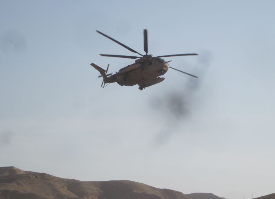
Appachee helicopter doing manuvers right over our heads
The next valley actually was our valley. It was only 4:15 pm with dusk still far away when we reached the blue trail junction. So though we were tired we also felt happy with our progress.
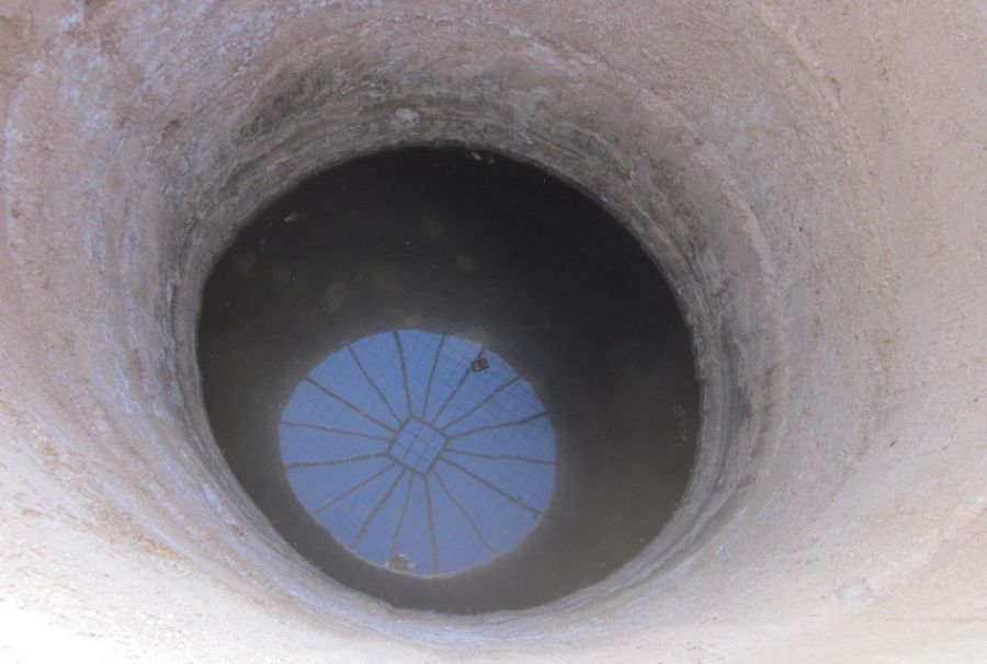
We left our packs and walked to see what the spring was like. It wasn't impressive. A deep hole covered by a grate with some dirty looking water inaccessible at the bottom. Like most of the camp grounds along the Israel Trail this one was quite trashy. We quickly went back to our packs, hauled them on, and ten minutes later we found our water stash. We were safe and had plenty of water for the evening and for our next days hike.
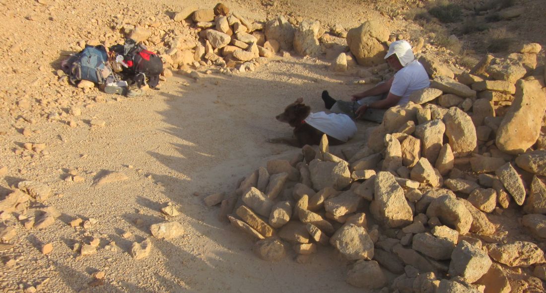
Now we needed to find a good place to camp. The area where we were was right on the junction of two dirt roads and the Israel Trail. It was too exposed to be a comfortable camping place. However, we didn’t want to hike too far with so much water to carry. I told Don to stay with the water and Taffy while I went in search of a good place. I walked further on the Israel Trail and there was soon a small wadi that went up towards the north. I clambered up a few meters and found a perfect place where someone, probably years ago, had cleared a flat area of rocks and used them to make low walls.
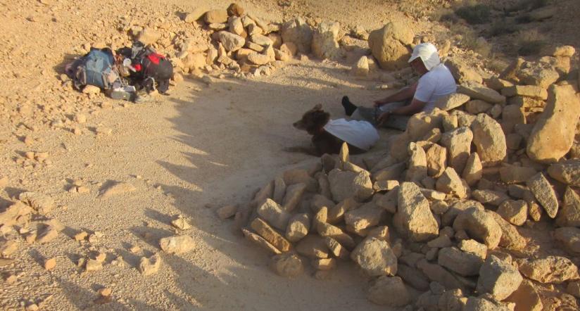
The perfect camp site
It was like finding a home in the wilderness. I went back and we loaded up with all the water bottles and feeling like mules we staggered to our perfect camping spot. It was only 5 pm and the sun was still up. Don dozed while I puttered around, arranging our tent and our stuff to my liking. Then I used our ample water supply to take a sponge bath. When night fell Don made our cheese and noodle dinner and in the deep darkness before moon rise we ate and talked quietly about our day. By 7:30 Don and I were asleep while Taffy kept watch.
Thursday 14th March 2013
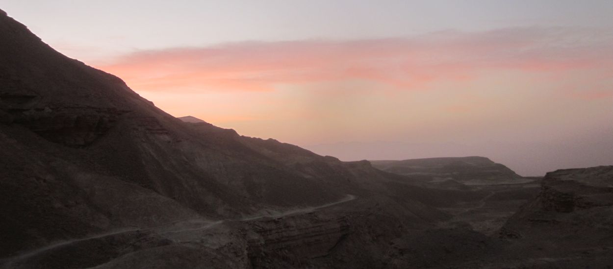
We needed to reach Timna early to make our bus so we woke well before first light and were already packed and on the trail by 5 am. Though it was still dark, the Israel Trail was on a dirt road for a few kilometers and easy to follow. We walked east towards the dawn.
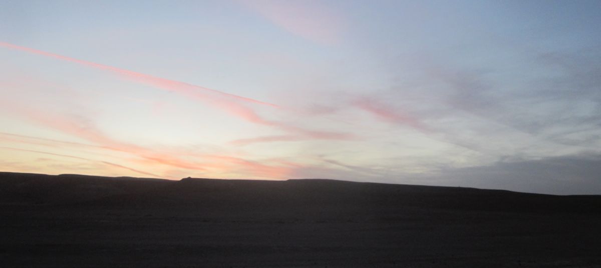
After about 45 minutes we reach the beginning of the Milhan Decent (מעלה מלחן) to the Arava. The timing was perfect because as the trail left the dirt road and became interesting, the sun was making the wisps of clouds pink, and visibility was fine.
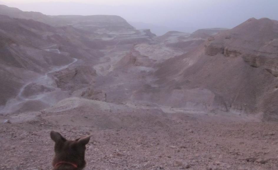
Taffy looking down the Milhan Decent (מעלה מלחן) to Timna before sun rise.
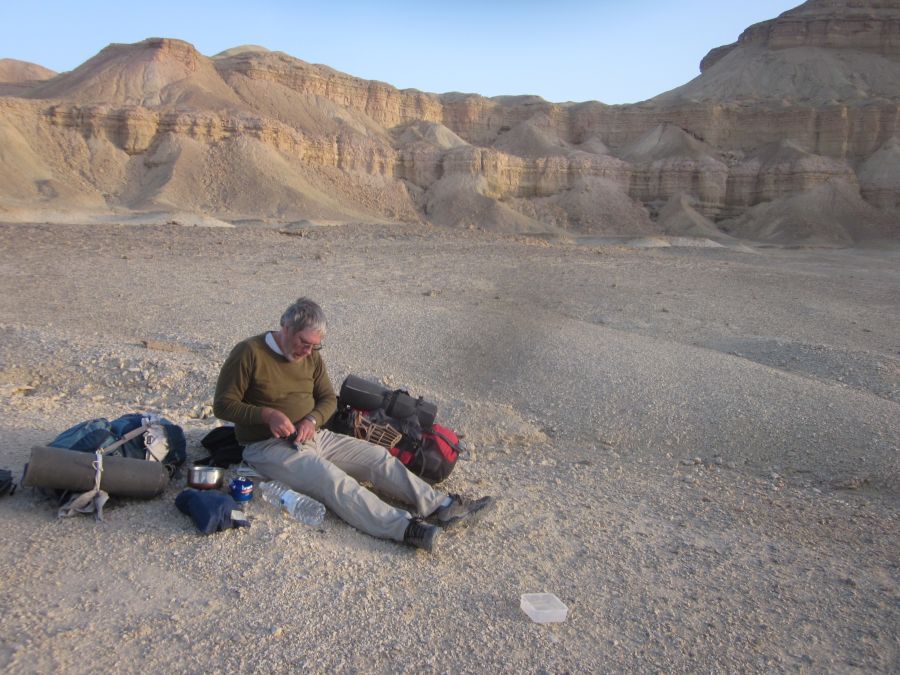
We made or way carefully down a steep winding section of narrow trail and found ourselves in an unearthly area of strange formations. There were views of the massive Timna cliffs to the north while the trail went on a relatively flat area through strange ravines towards the south. The ground that we were walking on was oddly soft and if we investigated off the trail our boots would sink several centimeters though a crusty layer. After about a half an hour we realized that the trail was on a wide ledge and that there were cliffs about 10-20 meters east of us going straight down to the valley below. As always I was fascinated and couldn’t help but go to the edge. Shortly after that we found a perfect flat area with cliffs to the east going almost straight down and weirdly rounded cliffs like a wall of pillars going up towards the west. Here in one of the wild places of the earth, with the sun coming up, we stopped and made our breakfast.
Don starting breakfast in a strange land
It was 7 am when we started walking again. Soon afterwards we passed a group of hikers who had already climbed up from Timna, they had started before dawn as we had, to beat the heat. They told us that heat wave was predicted to continue until the evening. We passed several other Israel Trail hikers who had left Eilat a few days before and were trying to scale this major ascent before it became unbearably hot.
After about an hour the ledge on which we were hiking disappeared and the trail wound down towards the valley below through a maze of boulders strewn on top of a ridge. The ascent became steep in places and the hiking was tricky, but not difficult. The path went around the ridge and the view of the whole Arava rift valley opened up in front of us, while the trail traversed the steep slope. Finally the trail followed the top of a finger of the mountain that went right down to the bottom. It was the kind of hiking that Don hates, when there are steep drops on both sides. But carefully, with no real trouble, we walked out of the mountains into the low lands. It was only 8:30 am.

Diana and Taffy on a ridge path almost down
We now had several kilometers to hike on completely flat dirt roads. There were several signs with information about the region. We were now in the geographical area of Eilat, and the scenery became ever more unearthly. The mountains of Timna itself were black, but there were other rock formations sticking out of the earth that were red and yellow.
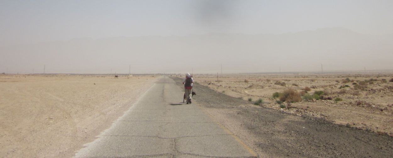
We rested and drank under a lone acacia tree, and then walked the rest of the way to the Northern entrance to the Timna National Park. There at around 11 am we hid the Golan Stone and started walking on the access road from Route 90 where we needed to catch the bus to Eilat, where we would get another bus back to Shizafon and our car. This last leg was horribly hot and I so hate walking on asphalt, but we were lucky and a worker from the park picked us up drove us to the bus stop. One more 4 day hike and we will be in Eilat!