Getting to the trail: Saturday 30 March 2013
This hike, the 18th section since we started the Israel Trail on the Golan Heights, would bring us to Eilat and the end of our adventure. We drove to Eilat the day before we planned to start walking. On the way we stopped at several of the places where we had stashed water and added extra food including matza and raw eggs since we would be hiking during the last days of Passover.
We arrived in Eilat late in the afternoon, parked near the hotel where we planned to celebrate the completion of the Israel National Trail, and hoisted our backpacks. We took a local bus to the Eilat central bus station, bought some food for our dinner, and then squeezed onto the bus to Be’er Sheva which was overcrowded with rowdy young people going home after their vacation. I was able to find a seat with Taffy safely under my feet, Don stood next to me. Suddenly the bus driver slammed on the breaks and Don went literally flying several meters towards the front of the bus falling hard on the floor. For a horrible moment I thought Don was severely injured. Thank goodness he got up and said he wasn't hurt though he developed several impressive bruises. Our bus misadventures were not over. Soon after Don fell, the driver said we were at the Timna bus stop, we blithely got off the bus only to find we were at the south Timna entrance instead of the north entrance. Now what? It was pitch black night and we were about 5 kilometers away from where we needed to be. Five kilometers might not seem like a lot considering how much distance we've walked, but on the side of a highway, at night, when we were supposed to be making camp and dinner, to us, it seemed like the end of the world.
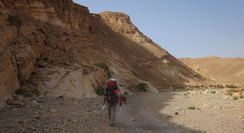
We plodded along hitchhiking as we went. One guy stopped only to drive off again when he saw Taffy. Then a taxi stopped for us, and suddenly everything was perfect because he didn't only take us to the bus stop, but right up the access road to the park itself. Timna park is a large area with many attractions besides hiking.
We ate dinner on picnic tables near the entrance. Another hiking group was also eating and planning their next day going north. There were three post-army Israeli guys and a young woman tourist from England who had met the men in Eilat and decided to tag along. Who knows what drama was going on?
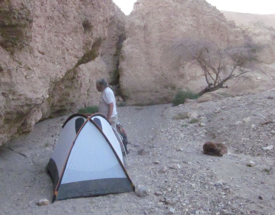
After eating we washed up in the bathrooms, there was a swallow nesting in the women's bathroom, and then set up our tent past the park entrance near where the trail started up.
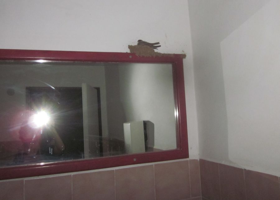 Swallow nesting in the bathroom at the Timna park north entrance
Sunday 31 March 2013
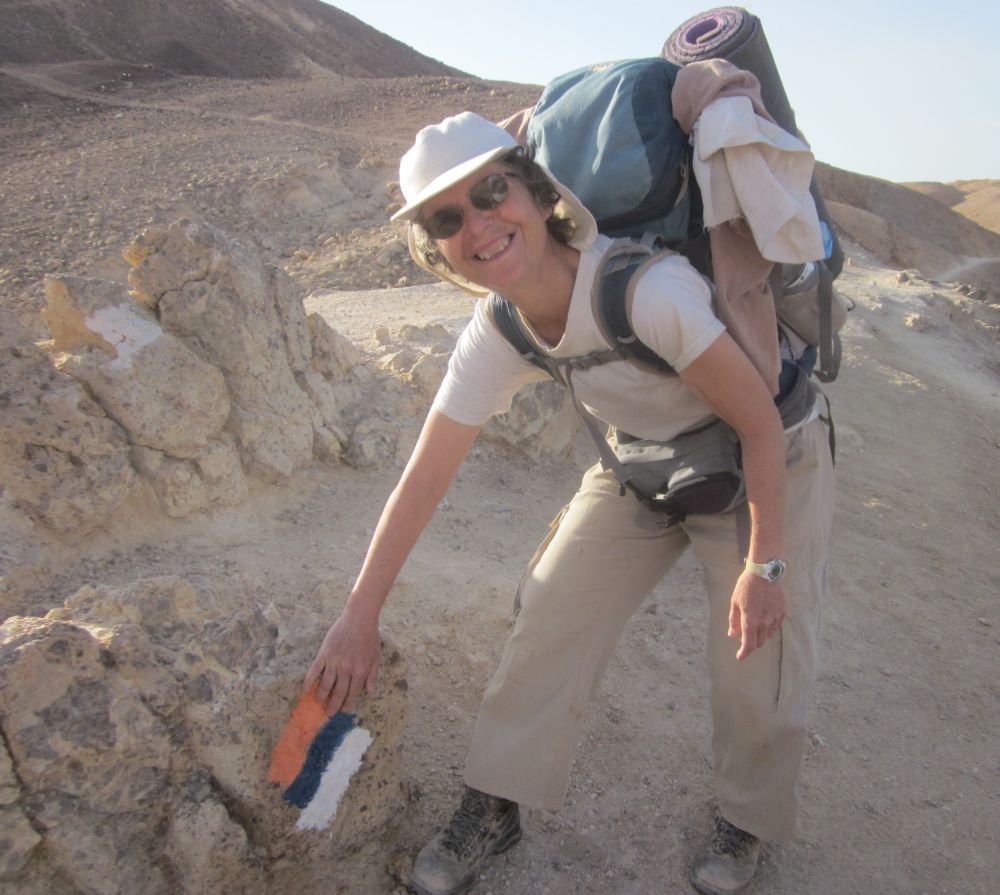
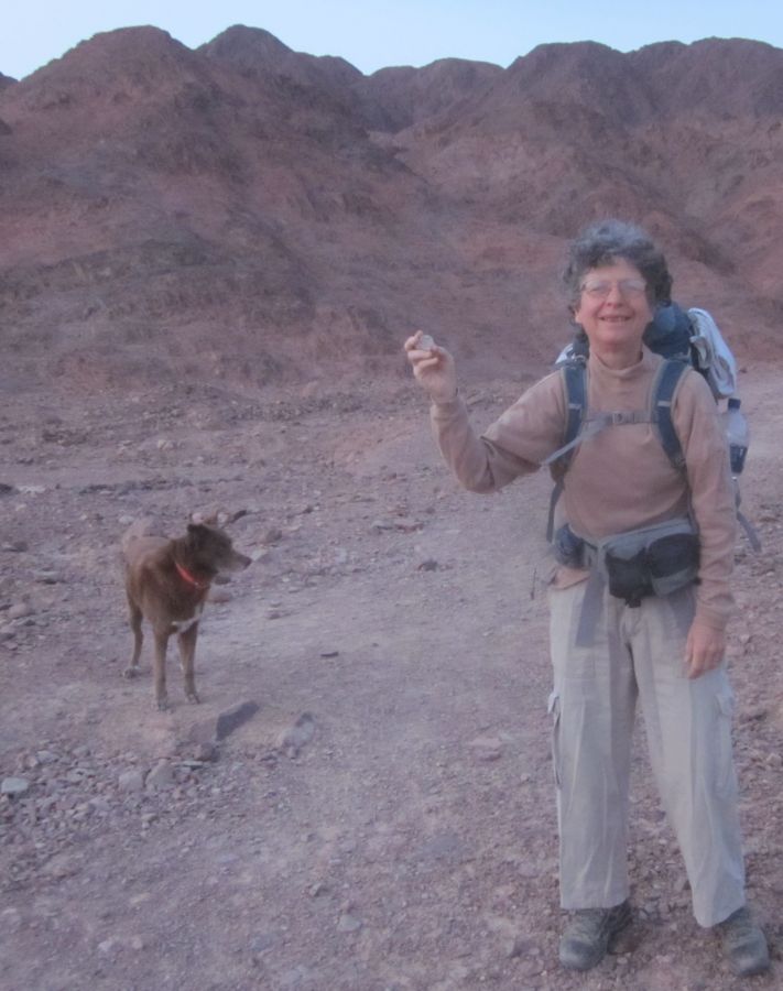
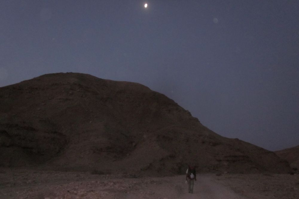
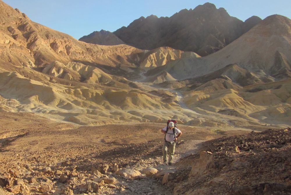
The next morning we were ready and packed up at 5am with the first light glowing in the east. I easily found the Golan Stone and we began hiking the well-travelled trail leading to the summit of Mount Timna an area of copper mines dating back to ancient Egypt. We thought that the path went straight up, but first it led us into a narrow wadi and went downhill towards the west for ten minutes. The trail then followed the ravine up.
 Diana holding the Golan Stone at Timna
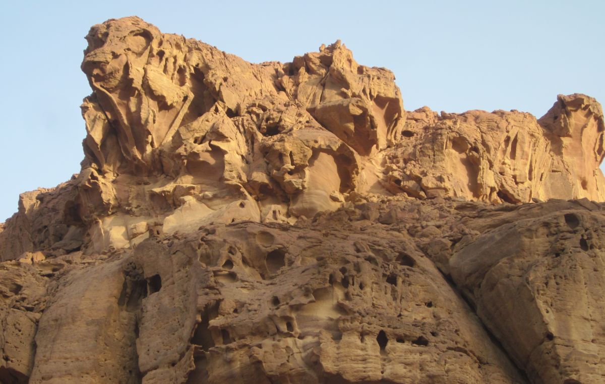
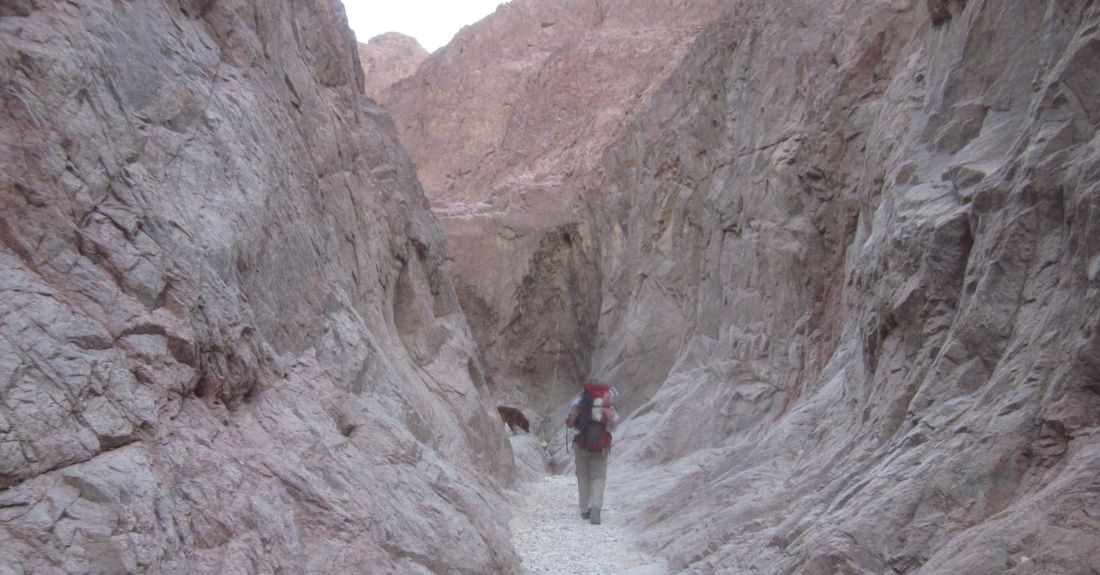
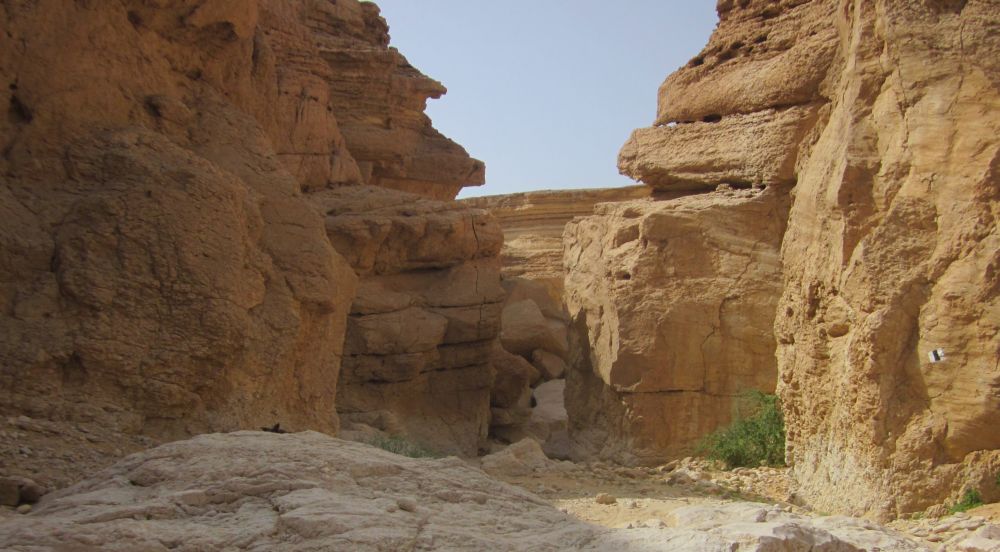
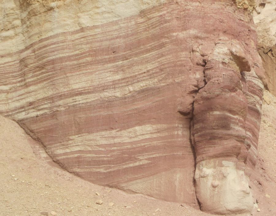
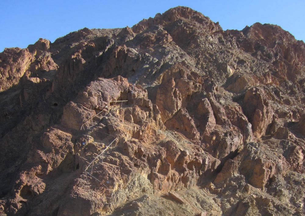
Strange rock formations on the way up Mount Timna.
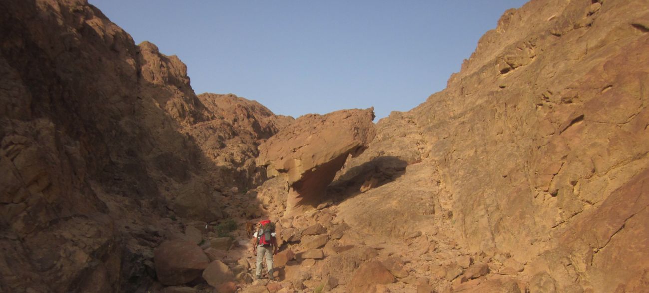
We climbed on a rough, rock strewn trail, in cool temperatures, glad to be on the trail again, but apprehensive about the upper climb onto the top of the table mountain. Would we have to put Taffy in his harness and haul him up another cliff?
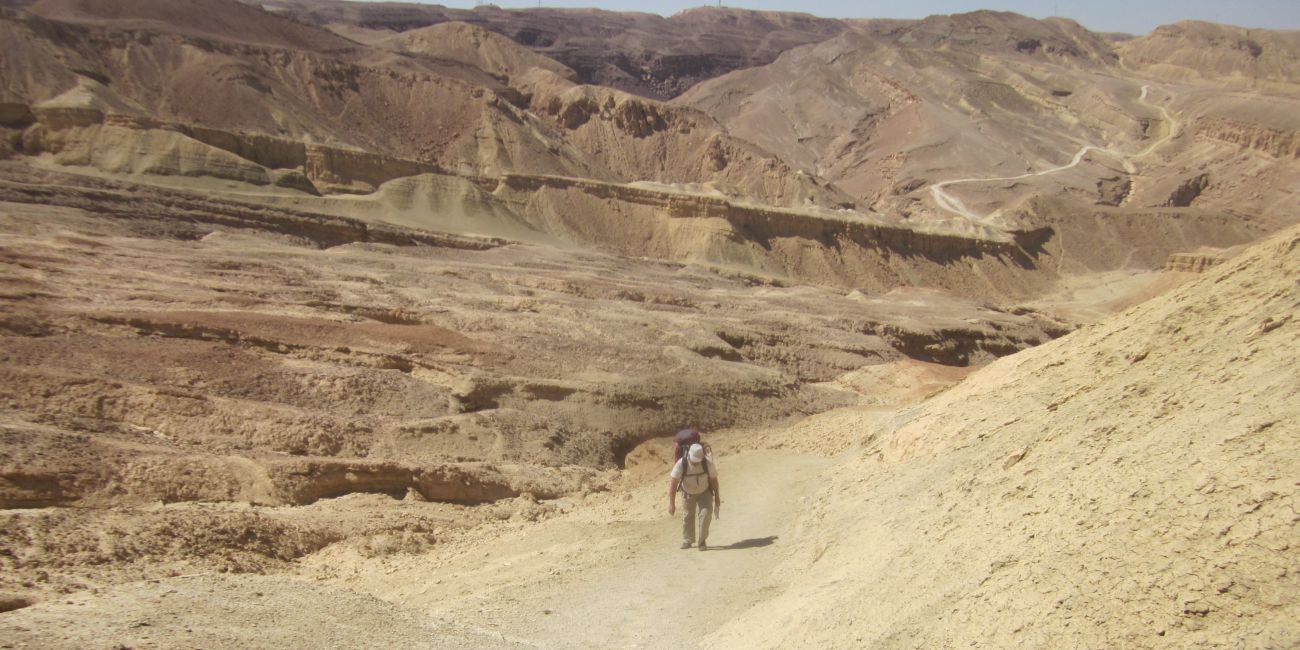
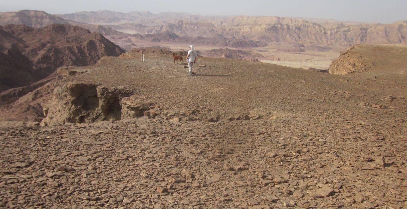
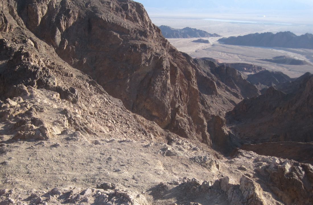
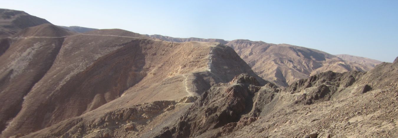
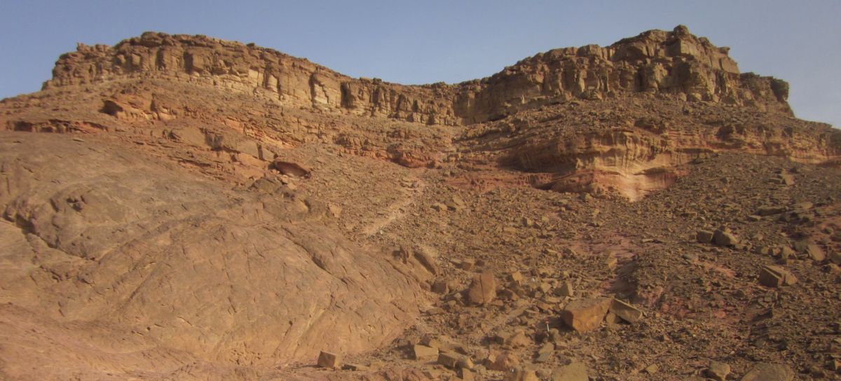 The top of Mount Timna in view
After hiking for about an hour and a half we reached a large gently sloping ledge with views towards the north. We stopped here and made our breakfast – this time because of Passover – we had hard boiled eggs, matza, and strong hot tea. After eating we examined an odd rock formation in the shape of a giant mushroom and then hoisted our packs and continued up. The trail was interesting but not difficult.
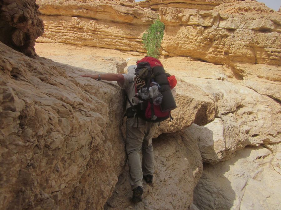
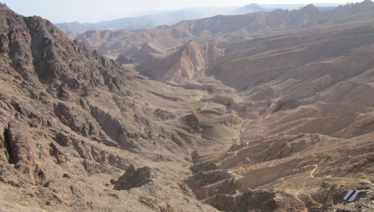
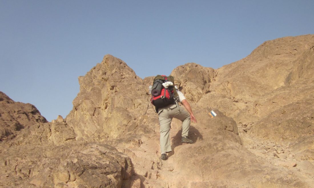
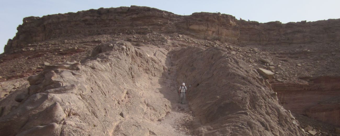
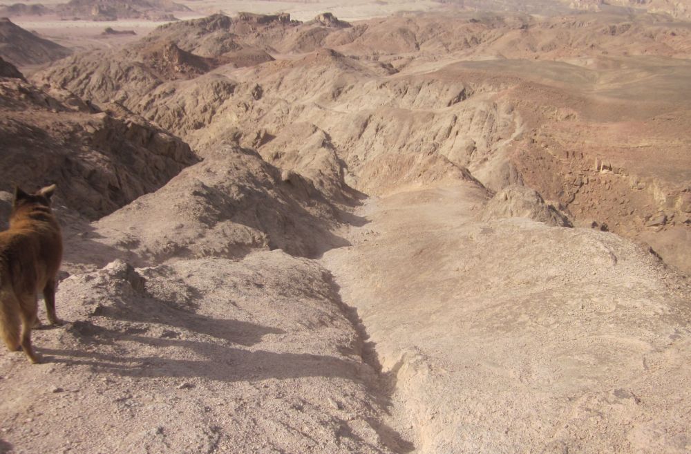
 We reached the top cliffs leading to the flat top of the table mountain after another hour of walking. The cliffs were about 10 meters high, with the trail cutting diagonally into them. Finally there were step like ledges that Taffy was able to climb up without help. There were staples to help us. The top was flat as a pancake with views in all directions. We put our packs down and spent 45 minutes walking the circumference of the plateau looking at the unearthly landscape. As usual I was fascinated by the cracks near the edges of the cliffs and straddled them when possible.
 Diana standing over a crack on the edge of Mount Timna
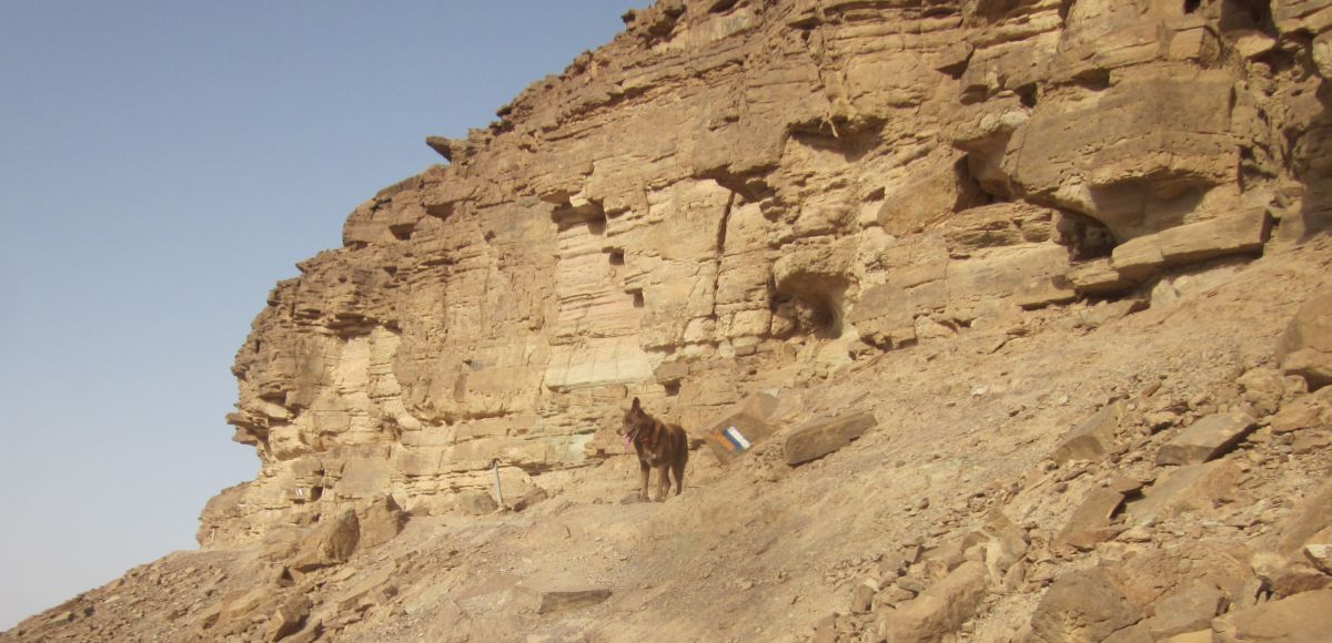
We started the trail going down towards the south as a group of young hikers climbed up. The descent off the plateau was steep, but not a problem. The trail went into a shallow wadi, and continued down towards the Arava. As we clambered down the often tricky, steep and rocky path we spotted a large lizard with a bright green head basking in the sun. It was a male Sinai agama חרדון סיני (Pseudotrapelus sinaitus), in mating colors.
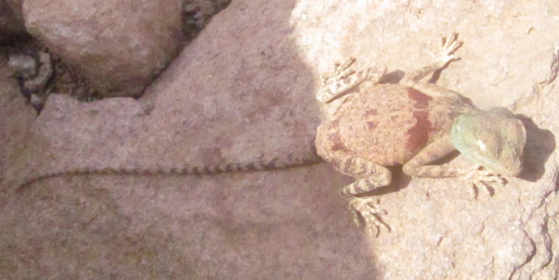 Male Sinai agama חרדון סיני (Pseudotrapelus sinaitus), in mating colors.
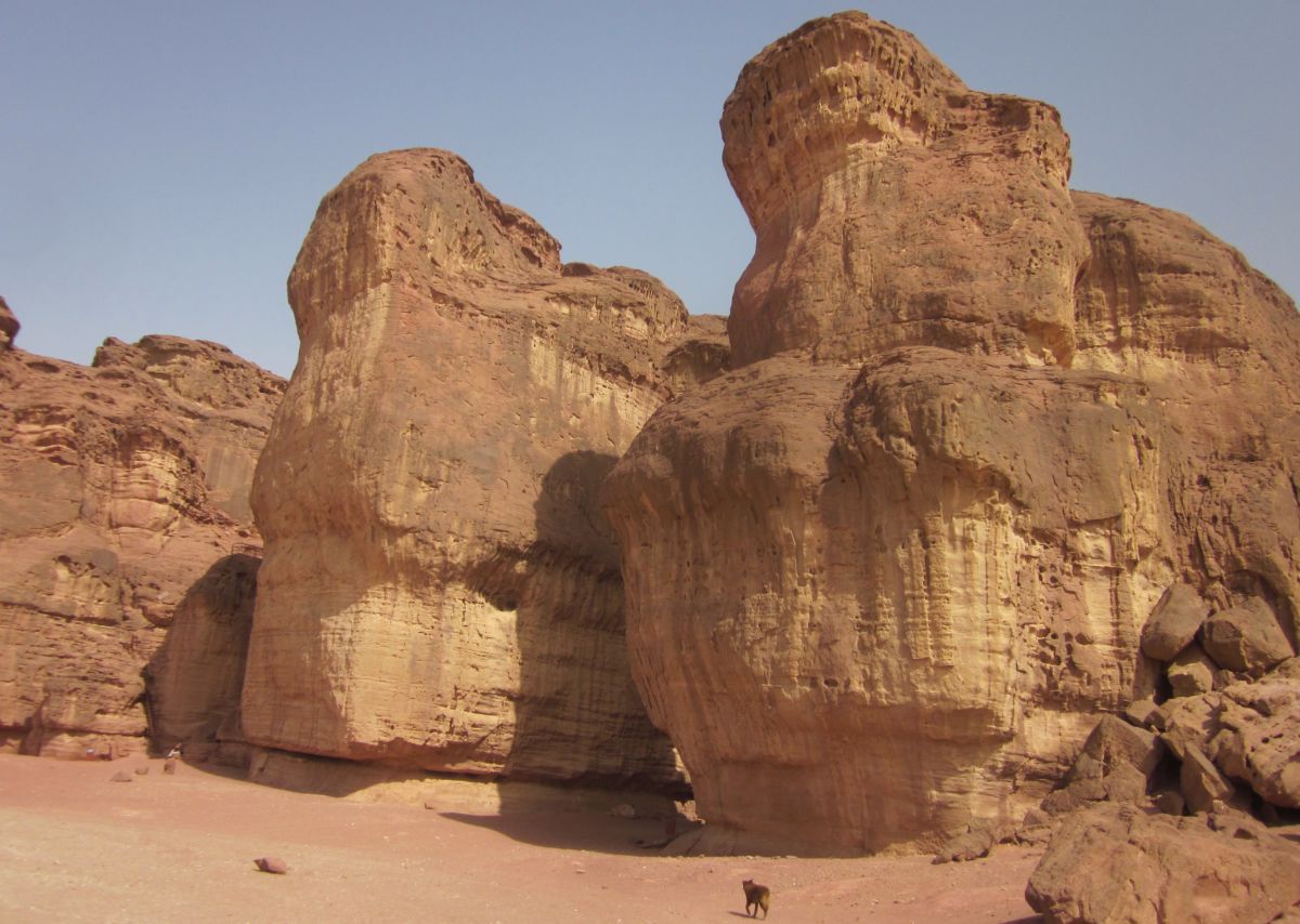
At 9:30 am, an hour after starting down, we walked out of the mountain and found ourselves once again in the absolutely flat rift valley floor. Here we took a detour off the Israel trail on a path towards the west to visit a site called “Solomon’s Pillars” ( עמולי שלומה ). After walking for about ten minutes in the increasingly hot sun we approached impressive cliffs with the face of one of them set up for rock climbers to practice. A few more minutes along the cliffs and we reached the site.
 Solomon’s Pillars ( עמולי שלומה ) near Timna's south entrance.
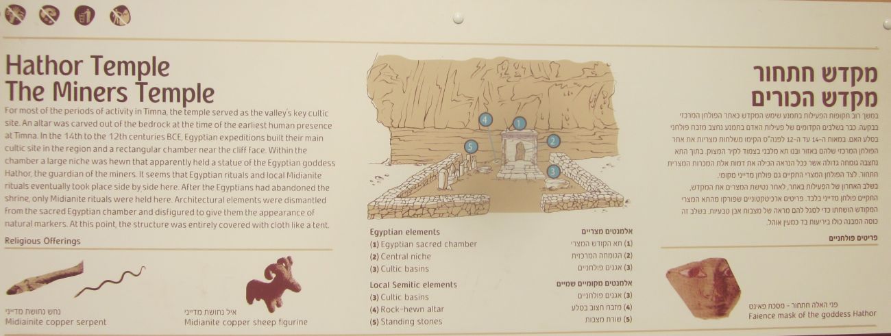
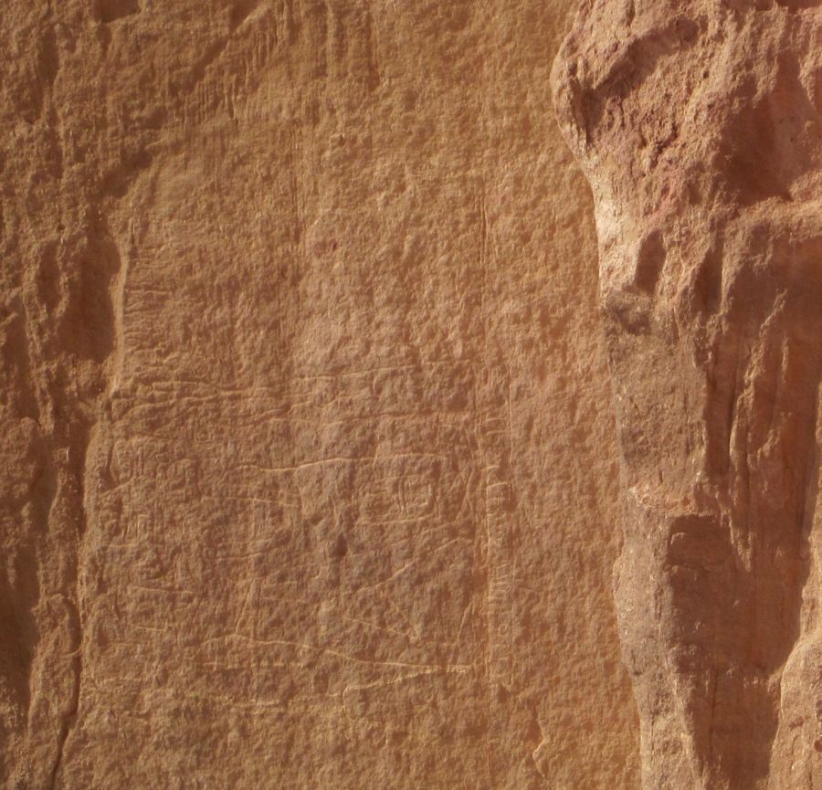
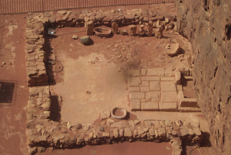
Solomon's Pillars are a geological formation that has little to do with King Solomon. However, the extensive copper mines of the whole Timna area were operating during the reign of King David and King Solomon. There were difficult to see Egyptian engravings carved into the cliffs and the remnants of a temple to the Egyptian Goddess Hathor. We walked through the area and marveled that we had walked to a place that had once been mined by the ancient Egyptians. We spent about an hour climbing around and then walked back to the Israel Trail which led us to the south entrance of the Timna National Park.
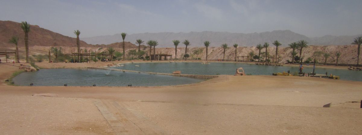
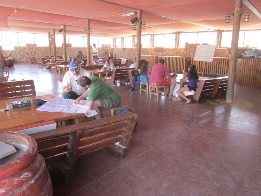
The south entrance to Timna had a man-made lake and pleasant cafeteria. We sat at one of the picnic tables near the lake and talked while we watched Taffy take a drink and then decide to also take a swim. We had lots of time since our stash of water was not far and it was still early. We made our way to the cafeteria and relaxed at one of their tables. After cleaning up and getting refreshed at the bathrooms, we ordered lunch of a big Israeli salad with Feta Cheese and a kosher for passover casserole. This was the first time on the Israel Trail that we ate in a restaurant.
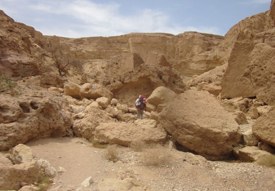
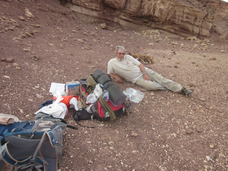
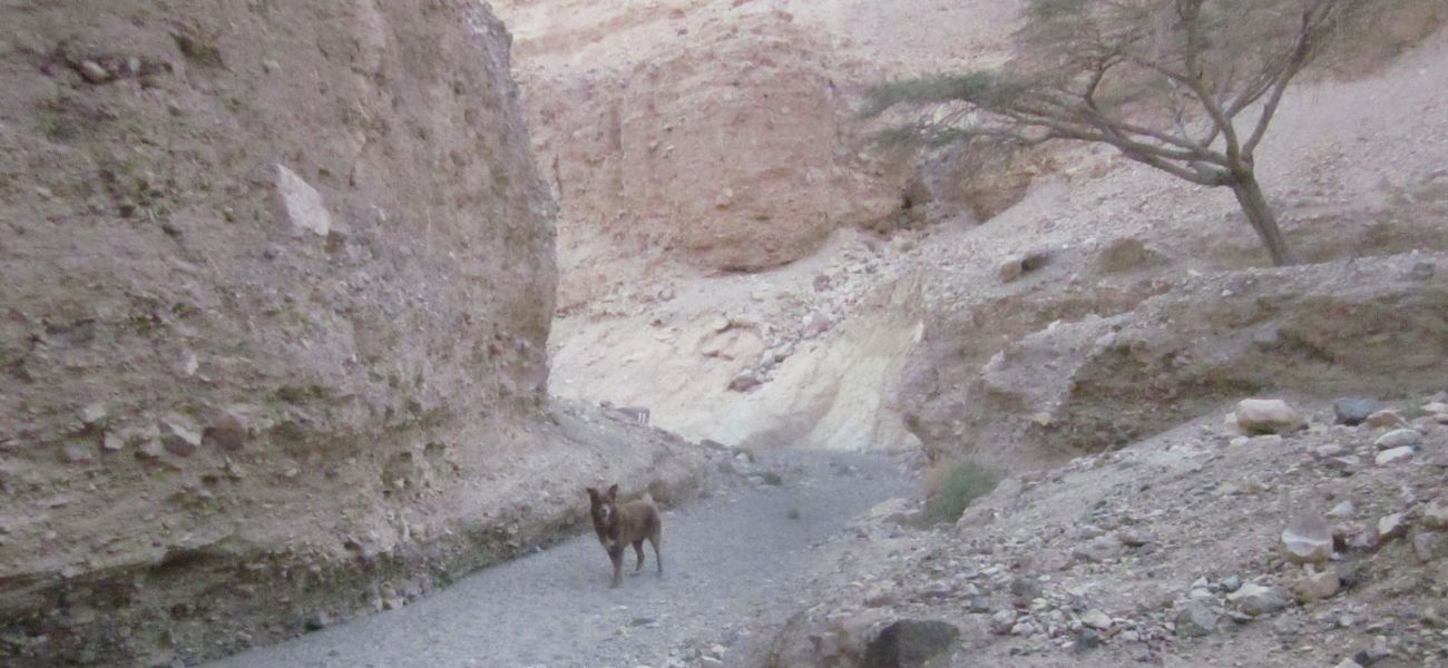
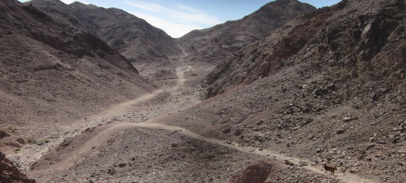
At about 1:30pm we left Timna and continued south in the lowlands of the Arava though the trail went up and down several small ridges. After about an hour we came to a huge pit that seemed to be used for some kind of garbage disposal. There was a tractor working way down in the pit, and around the perimeter of the area there was a fence with dummies dressed as guards and a dog barked at Taffy and us as we walked by. We didn't see any actual people. Not far from this place we came to the rock outcropping where we’d hidden our stash of water and food. It wasn't such a nice area to camp, and it was still early, so we decided to hike further even though we now were carrying all the water and food. We trudged another half hour until we found a lone Acacia tree in a wide empty valley and decided that this was a lovely place to camp.
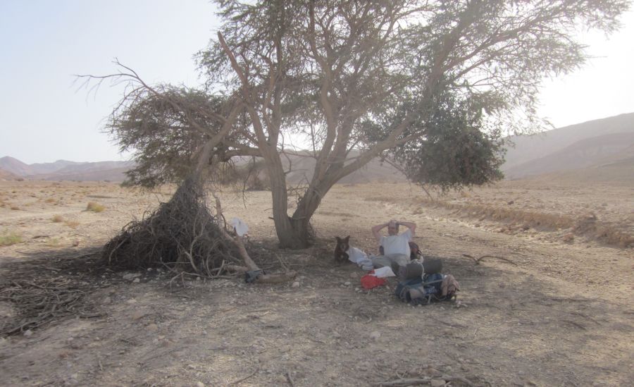 Don and Taffy at the first night's campsite.
Don dozed in the shade of the tree and I puttered around slowly making our camp. Then we read until dusk when we heated canned beef stew for dinner – Taffy of course got his share. We made sure that on these hike Taffy ate as well if not better than we did.
Monday 1st April 2013
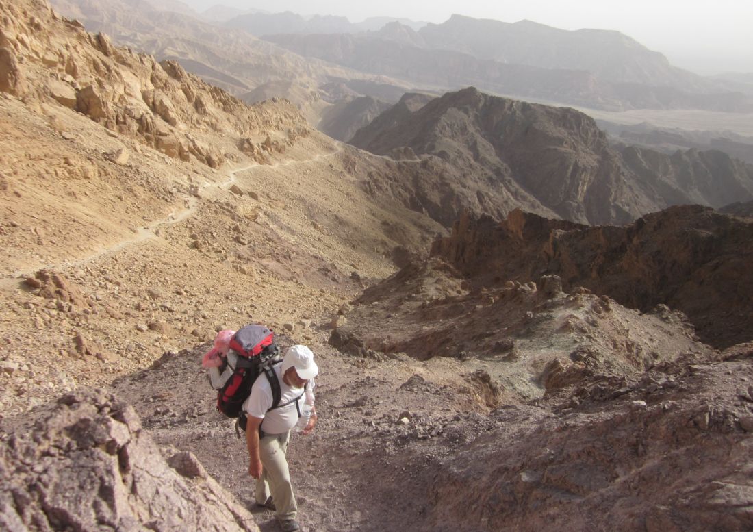
The next morning, April’s Fools day, we started walking by the light of the half-moon well before dawn. We were down in the Arava in a wide valley called Nachal Haham ( נחל החם ) - aptly named the hot valley. Trail today would take us back up to the Eilat Mountain highlands and then back down. As the light slowly grew in the east, we walked south on the flats with rocky outcroppings to the east and west. We stopped for breakfast under a lovely large Acacia tree and there using the eggs from our stash I fried up Matza Brie for our breakfast. The trail remained in the flats for about three hours of walking after breakfast. Then the outcropping on both sides of us narrowed and the trail veered to the left and started the Amram ascent climbing up a wadi with frequent low cliffs which were difficult to climb.
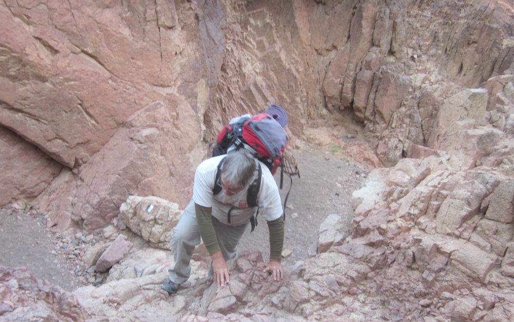
 Don climbing up dry waterfall in Nachal Amram ( נחל עמרם ).
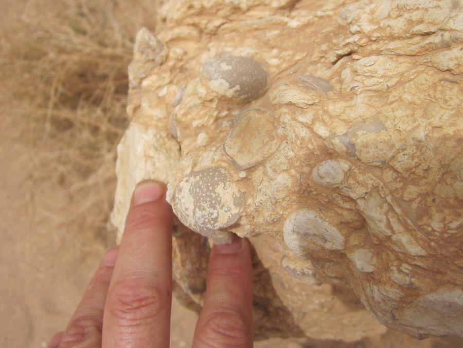
Sometimes we had to take off our packs, and help each other up. The area was packed with fossils most of them the same ubiquitous Oyster (Ilymatogyra Afrogyra Africana from the Cretaceous period 145-65 million years old) that is so prevalent in the fossil exposures we have seen along the trail.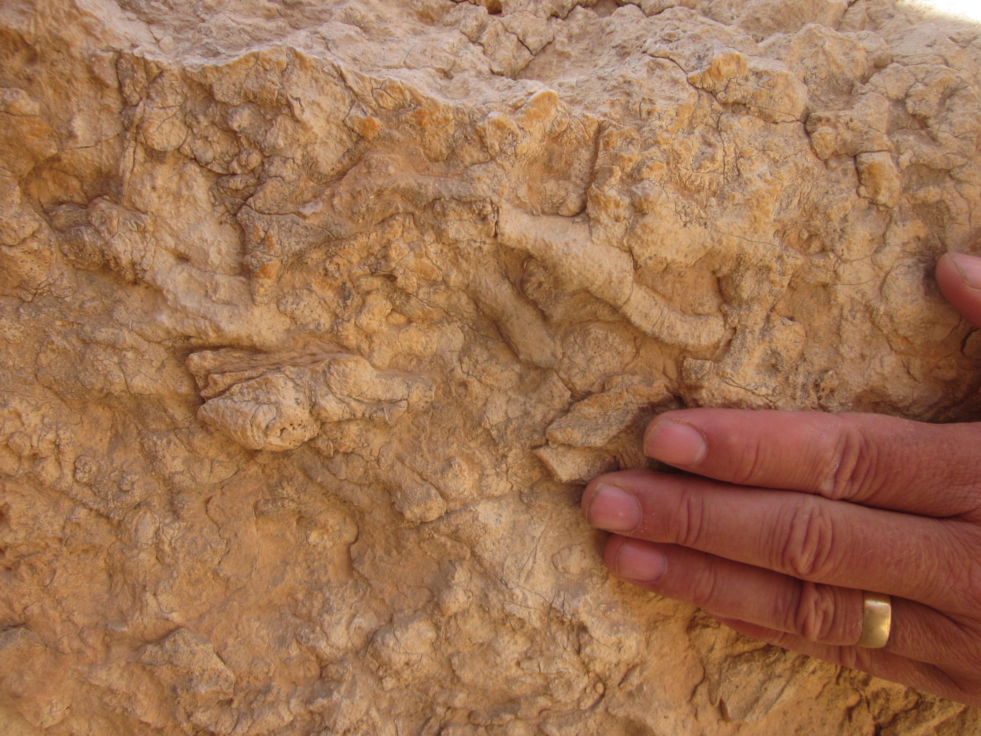
But there were also other types of fossils that Dr. Mark A. Wilson believes are burrows in ancient marine sediment.
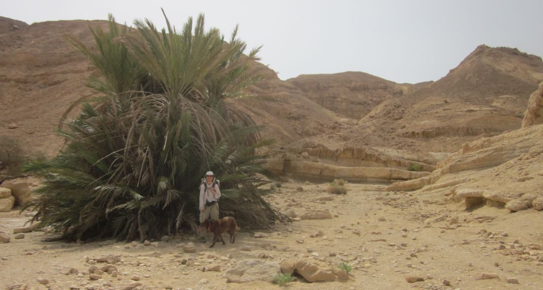
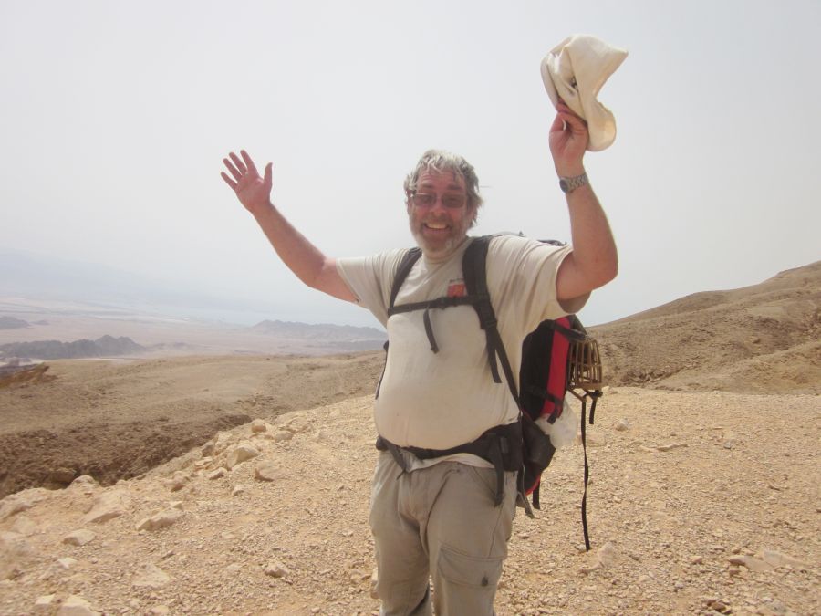
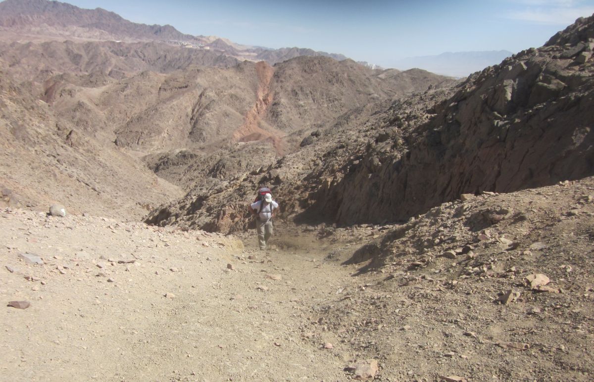
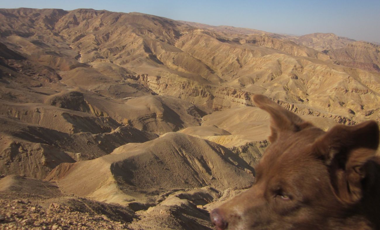
After an hour of climbing, the wadi became wider and we reached a little oasis of palm trees. Here we rested and ate some snacks. Then after another hour of steady climbing we came to a high point. As we walked over the peak a view opened up to the south, and for the first time we could see Eilat and the Red Sea in the not so far distance. For the first time we could see the end of the Israel Trail. It was 11 am.
 Don ecstatic seeing Eilat and the end of our hike for the first time.
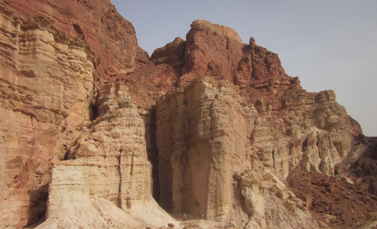
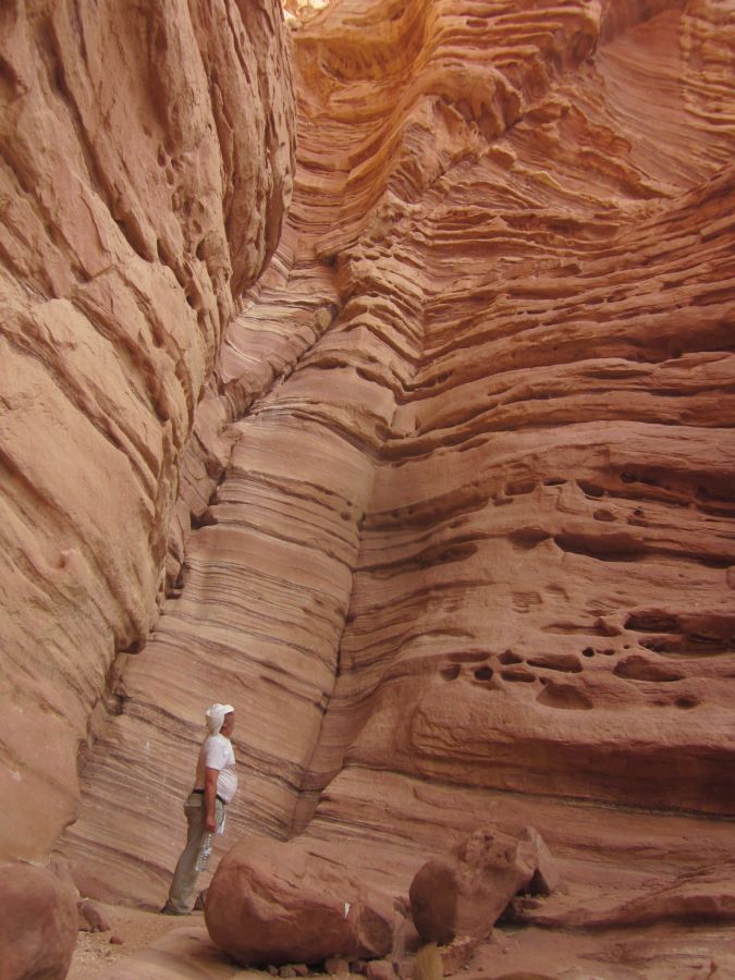
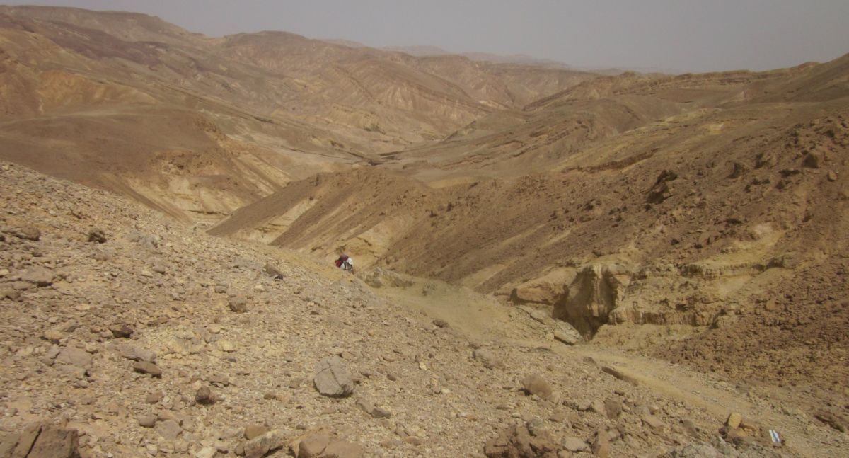
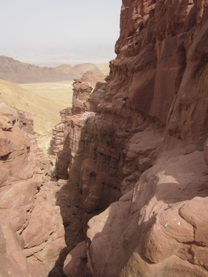
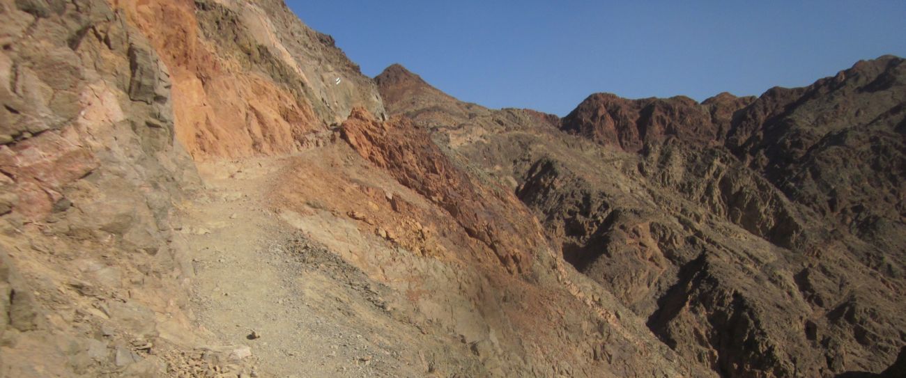
Having brought us up to the top the trail now descended straight back down following a ravine which ended at a black mountain jutting out between the flat Arava to the East and the Eilat mountains to the west. The mountain didn't look impressive from a distance, but the closer we came the stranger it seemed. There were multicolored layers on the cliff face of black, dark red, and shades of yellow. We approached the mountain and saw that the cliffs went higher than we thought, making us feel dwarfed in their shadow. The area was strewn with fallen boulders and there were cracks and small caves - a strange wonderful place.
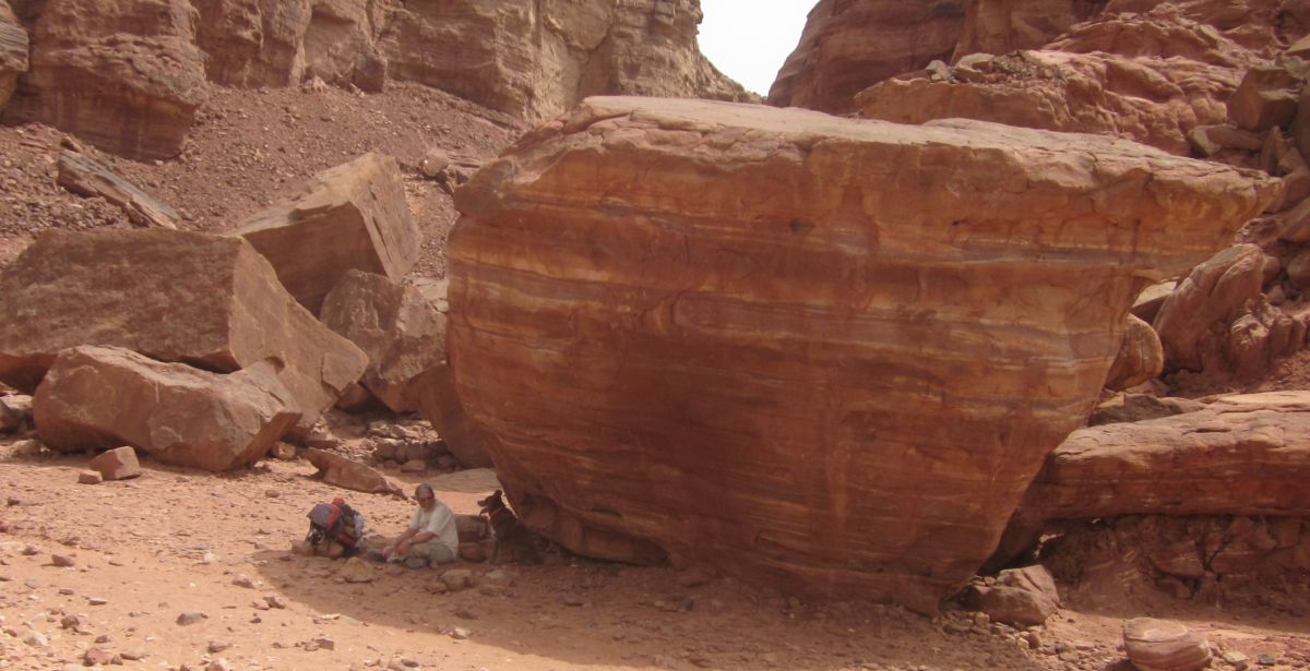
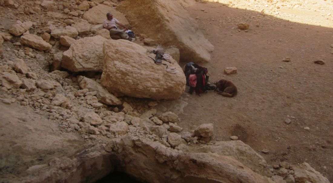
It was almost noon and the sun was pounding straight down on us. We found a mushroom shaped boulder and sat in its shade, a perfect place for rest and lunch. We had been hiking with only short breaks for 5 hours and we were both exhausted so we dozed for a while and then we ate lunch as we chatted and looked at the map. We were already near our next stash and camping site, but we knew that there wasn't shade there, so we decided to stay where we were until the sun was lower and less powerful. Don continued to rest while I explored the area finding several small room-like caves. Towards the north there was an impressive steep ravine that went straight down east to the valley below.
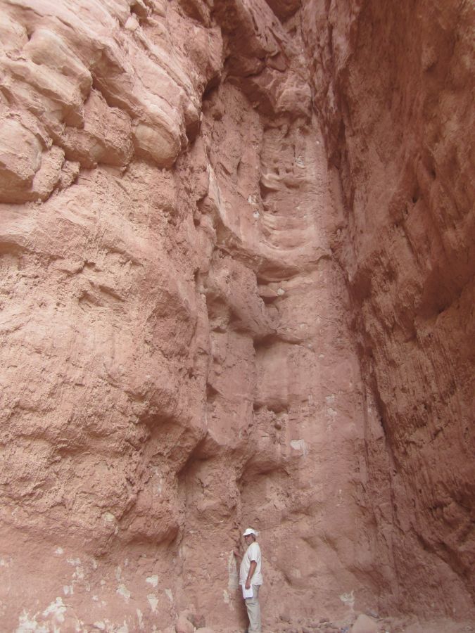
 Diana (looking tiny) standing below high cliffs at the entrance to cave
It was 3 pm when we started walking again. The trail went down with the cliffs to the east looming progressively higher above us, as we went lower. They were striped in a surreal pattern of red, black and yellow. There were several vertical cracks that formed tall caves, each of these were littered with tissue – very disturbing. I wish people would TAKE THEIR LITTER OUT WITH THEM!
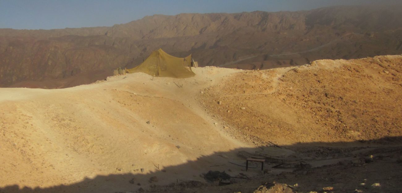
Gradually we walked past the cliffs and once again were on the flat Arava lowlands. The trail skirted occasional bizarre outcroppings of weirdly shaped and colored rock formations. An hour and a half of easy walking brought us to our stash and camping ground at the base of the next climb up the Eilat Mountain range. While we were setting up camp we heard the sound of engines. I went to a high point and saw that there was a group of 4x4 vehicles on the dirt road that was over the ridge. I quickly collected all or our garbage and ran the short distance to the group. The first person I asked to take out our garbage acted like I was nuts, but the leader of the group stepped up and agreed.
It felt good to have lightened our load. I took a lovely sponge bath before the sun vanished. Then in the cool evening Don heated a can of Hamim (bean and beef stew) which we shared with Taffy.
Monday 2nd April 2013
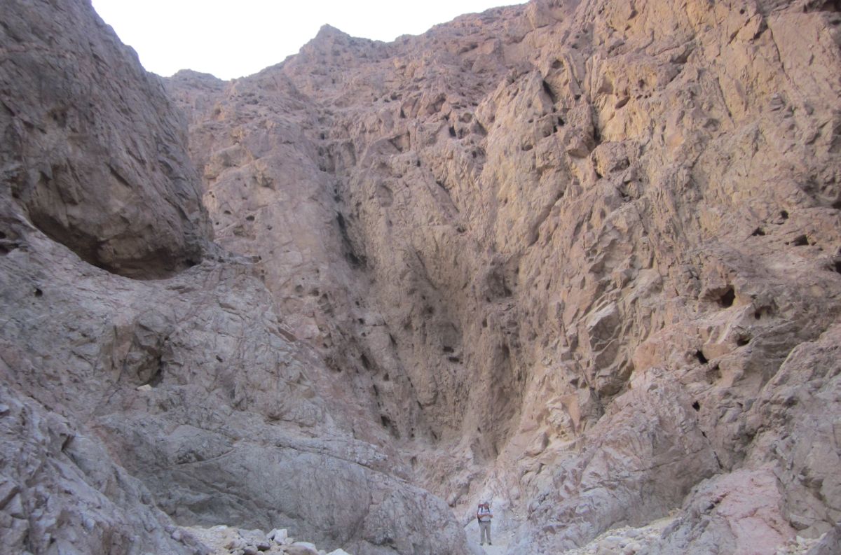
We woke before dawn and began walking in the dark. We were down in the lowlands at the bottom of the Shechoret Canyon (קניון שחורת) that goes straight up to the summit of the Shechoret mountain. The trail went into the ravine and for half an hour, as the light increased behind us, we walked on a wide gravel path that climbed gently with short cliffs on both sides.
 Don and Taffy walking in the bottom part of the Shechoret Canyon (קניון שחורת).
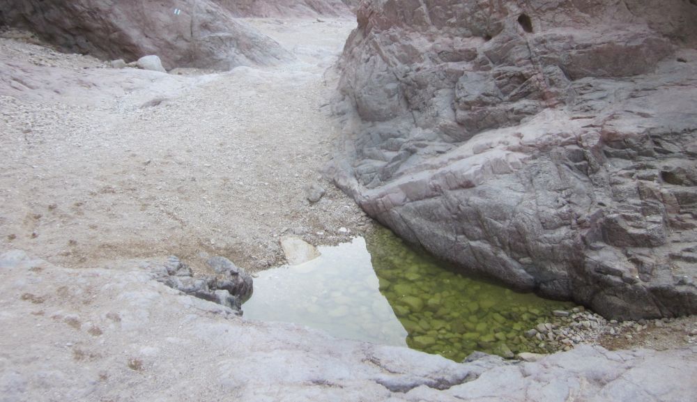
Gradually the cliffs became higher and the path narrower. There were several dry waterfalls to climb some of which were difficult both for Taffy and for us with our full packs. As we got higher there were several pools of clear water for Taffy to drink. Water in a parched land is always a wonder. The cliffs, puckered with holes and strange shapes, towered over us.
 Don and Taffy in the Shechoret Canyon
After more than an hour the canyon broadened into a wide valley with mountains all around. The trail now went out of the ravine and zigzagged steeply up the mountain side towards the south. Soon we reached a flat area where between mountain peaks a wide view opened up of Jordan to the east with the sun coming over the Mountains of Moab and the Arava valley below. We could see the ravine we had just climbed. We sat down there, looking over the view, and I made us breakfast of Matza Brie (eggs and Matza fried together) which we had with strong, sweet, steaming hot, tea. We ate and marveled at where we were. We had climbed a mountain before breakfast. I said to Don, “There will be only one more breakfast on the trail before we reach Eilat”, and we were stunned into silence.
 View while eating breakfast.
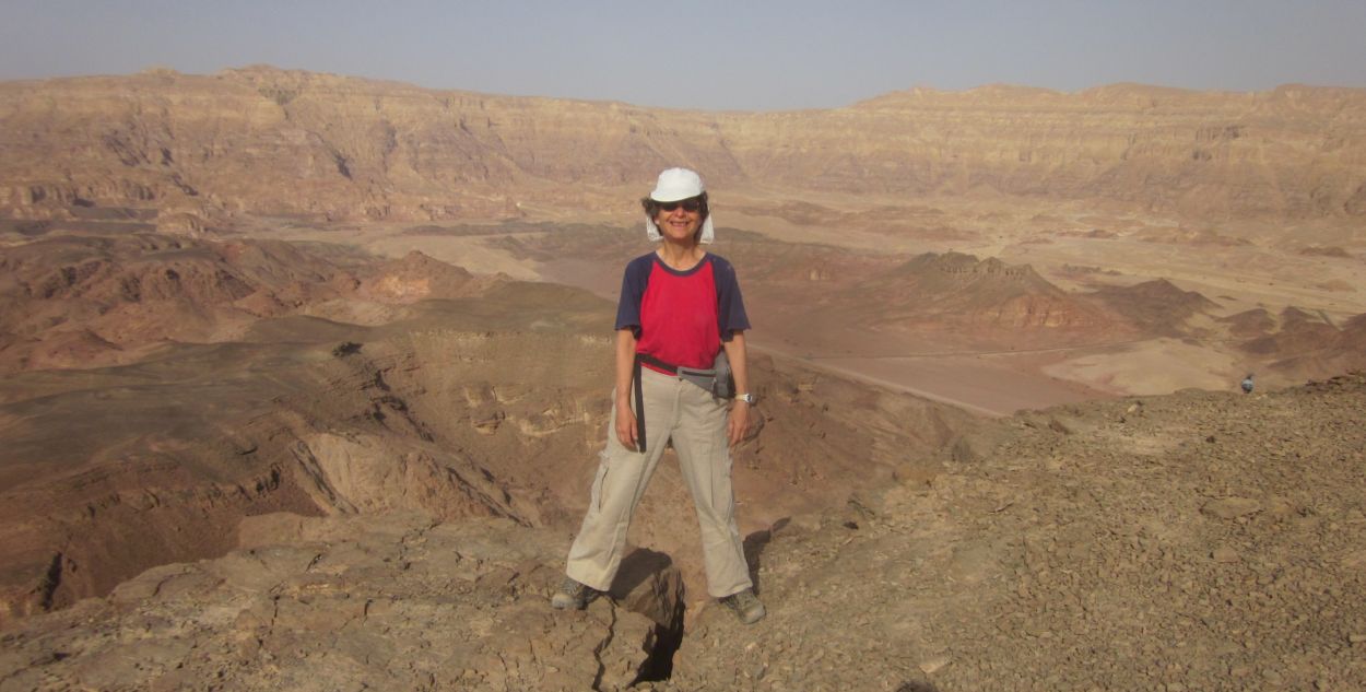
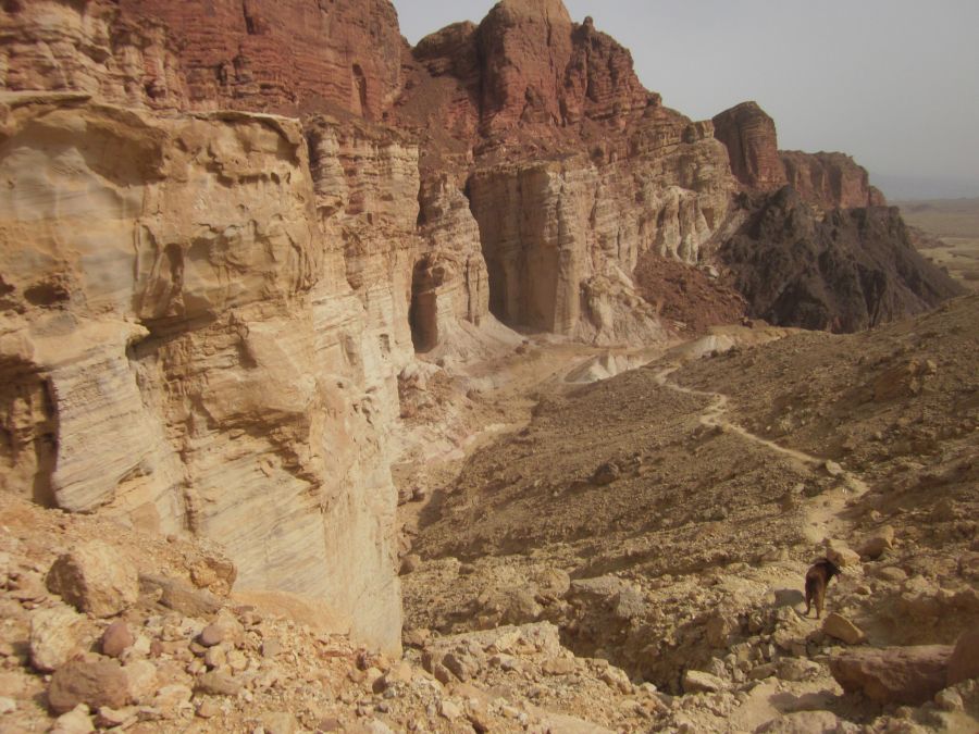
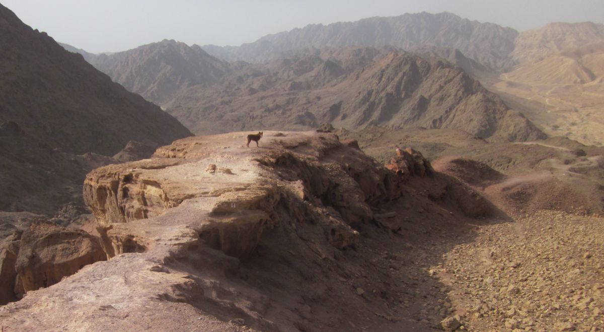
We enjoyed an hour at this magnificent spot and then refreshed and energetic we packed up again and continued on the trail up to the top of Shechoret Mountain. Views opened up now in all directions with strange multicolored mountains towards the southwest. I think the planet Mars is less unearthly than the bizarre Eilat mountain range. There was a short detour indicated on our map to a place called the “hidden valley” and that was our next destination. I kept asking Don, “isn’t that it?”, because every valley we traversed seemed like a hidden valley to me, but these places were not what was meant.
 Don in "Hidden Valley" (גַיא אבוד)
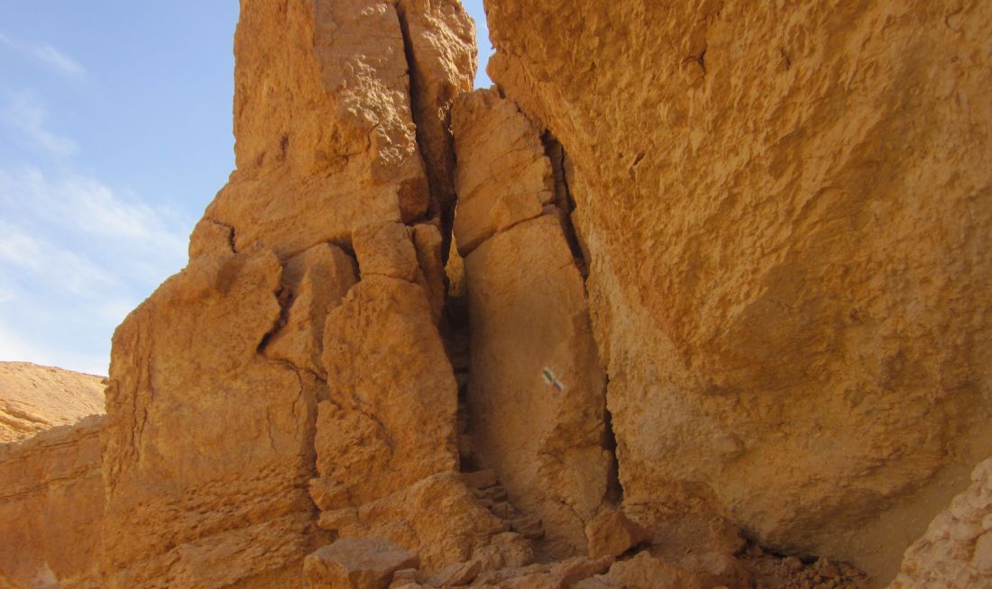
A little before 9 am we descended into a wide valley and reached the detour. We left our backpacks at the junction and feeling light as air we walked towards a striped cliff. There we entered a crack barely wide enough for a slim person to squeeze through, then we climbed up a short cliff and found ourselves in an area with striated cliffs towering about 150 meters straight up with no way forwards. We messed around there for about 10 minutes and then retrieved our packs and walked on.
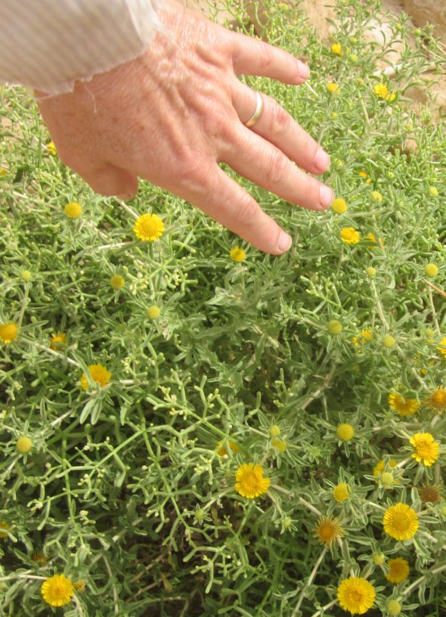
The trail was easy in a wide valley among bushes with yellow flowers. We came to another junction where the map indicated some ruins. Don and Taffy rested in the shade of the hill while I went up the path. I found structures with stone walls, but there was no indication of their age or what they were. I jogged back down and we continued in the increasingly hot day.
The trail went south out of the valley and up a Wadi towards rugged hills. At 11am we found an outcropping of rock where we the three of us sat in the shade and had a snack. We planned to eat lunch at the Netafim spring still a few kilometers away. We continued out of the wadi and into another wadi on a path of strewn boulders and smaller rocks. The trail then reached a flat area with high cliffs on three sides. There a trickle of cold water into a manmade trough. We had reached the spring. The cliffs provided plenty of shade and after I washed up and refreshed myself in the cold water we ate our lunch, still of Passover food, though Passover was over – until we reached our next stash we didn't have anything else. While we ate we wondered how we could possibly get up the cliffs.
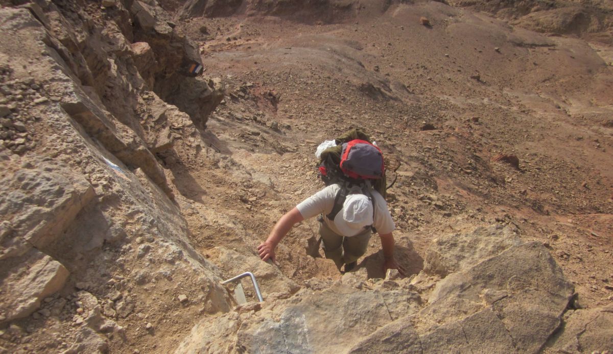
The trail went directly up to the cliffs and pointed into a narrow crack. A thin person could scramble up through the crack to a ledge that was slightly wider where there were staples up to the top. Taffy had no trouble. We were thin enough, but the backpacks would not fit. So we took them off, Don climbed up first and I handed them to him sideways. With some awkward moments we climbed out.
 Crack climbing up out of the Netafim spring ( עין נטפים ).
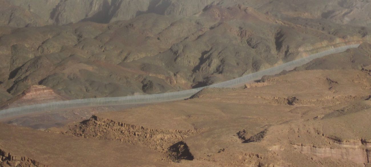
Now for the first time we had use an alternate route because the Israel Trail was temporarily closed for security reasons. The Israel Trail goes down to Eilat right along the border with Egypt through Nachal Gishron ( ואדי גשרון ). The closure was because there had been infiltrations, mostly by Africans trying to find a better life, but also by terrorists from Gaza. Now this wondrous barrier is finished, the Israel Trail is open, and there are no more infiltrations.
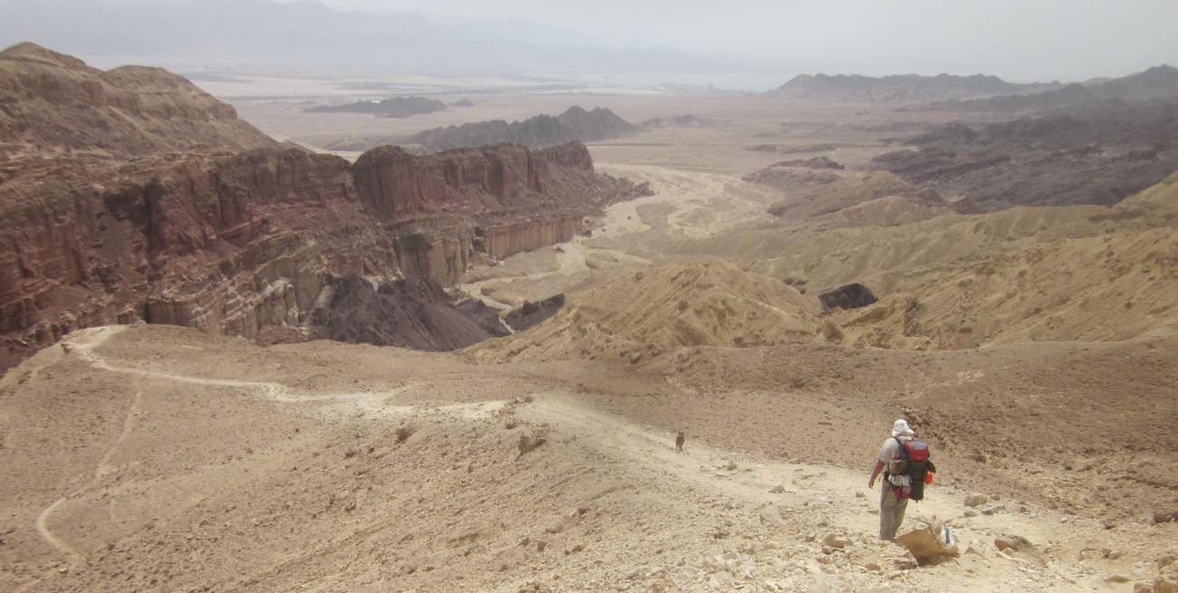
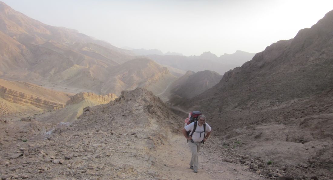
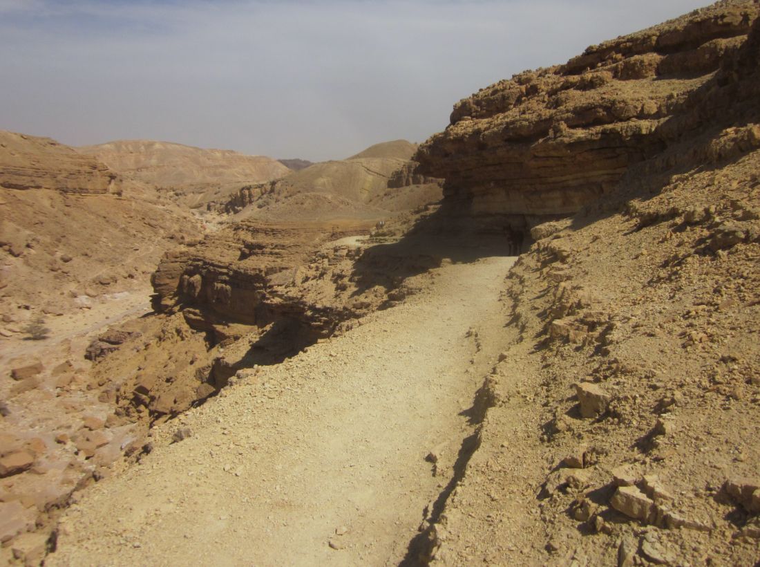
There are many different routes through the mountains down to Eilat, we choose the way that looked most interesting. From the top of Netafim we took the black trail which doubled back towards the west, but along the top of the cliffs. We could look way down and see the path that we'd just traversed. Soon the trail left the ridge and turned south steeply up Mount Yehoram (הר יהורם ). We were walking on a tan limestone mountain towards another mountain in the distance which was a higher menacing black slab.
 Don climbing up Mount Yehoram (הר יהורם )
We continued to the area near Rt. 12 where we had stashed water and food for out last day. We rested, threw out all our garbage, drank our fill, and repacked our backpacks. Then we continued on the trail going up and down various buttresses. Occasionally when were high we could see the black mountain ahead of us. The closer we got the more difficult it looked, and I got nervous that the trail went over it.
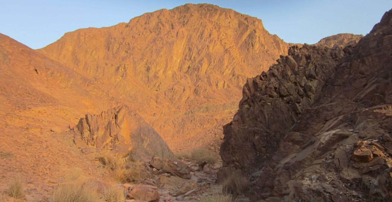
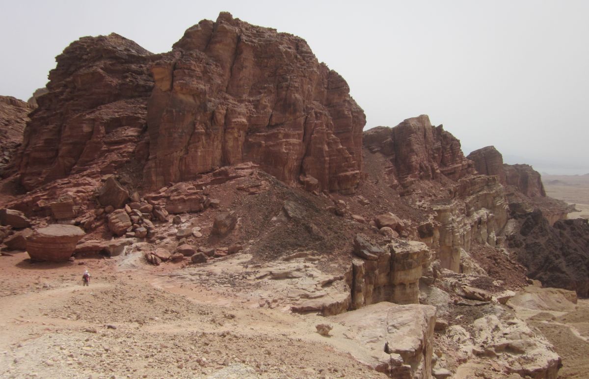
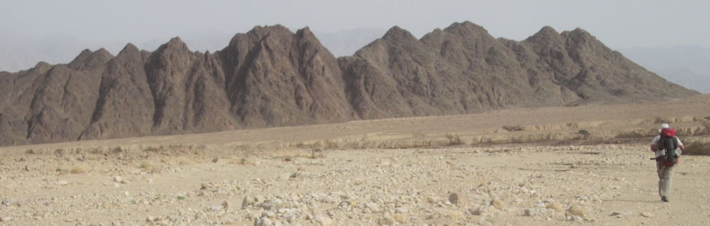
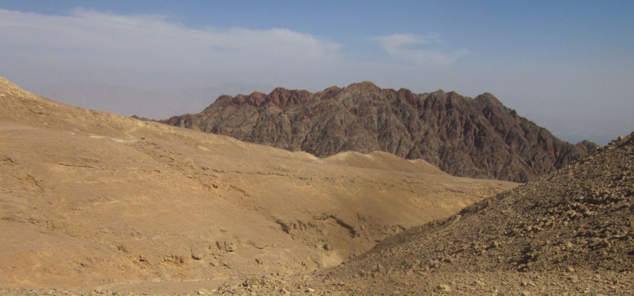
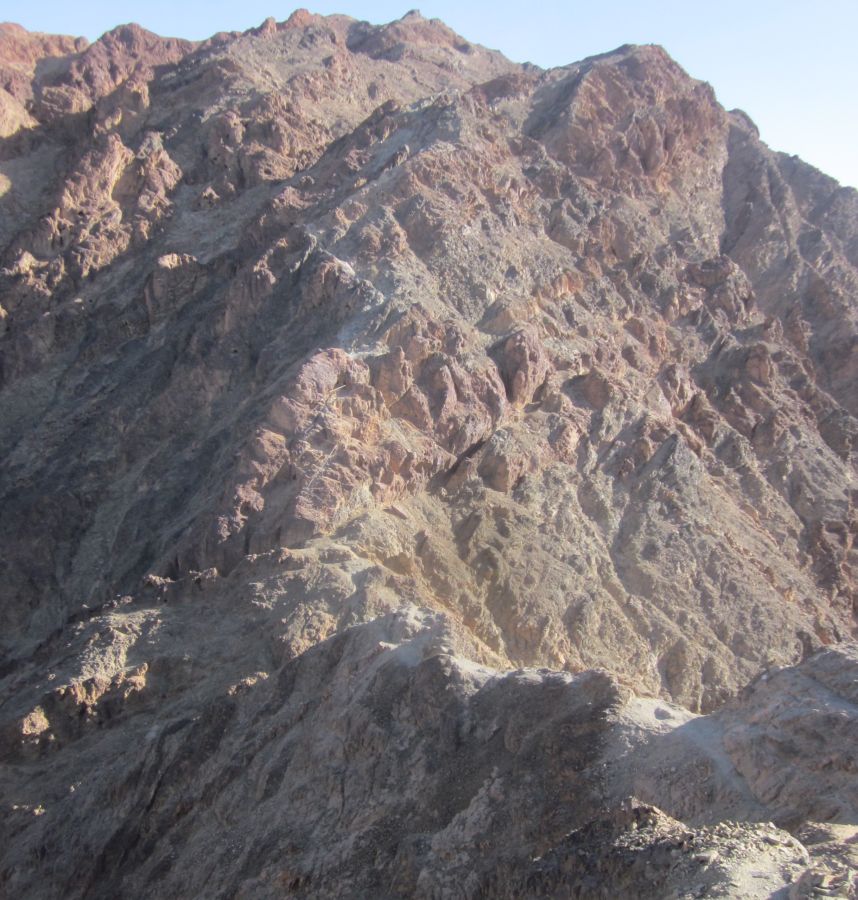
 The ominous black mountain, Mount Shlomo (הר שלוםה),
At about 2:30 pm we reached the top of Mount Yehoram. There was an old military surveillance camp dug into the edges of the top area. The black mountain was now looming clearly in the east blocking any view of Eilat or the Red Sea. I don’t know exactly why, but every time I looked at it my heart pounded.
The trail continued on a ridge directly toward the black slab in the east. I was preoccupied with my nervousness and wasn't paying any attention to Don who was behind me. The ridge ended with a moderate descent to the base of the black mountain. When I reached the bottom I looked back and realized that all was not well with Don, he was having a hard time doing the descent and when he finally reached me he was in a panic. He sat down and told me he couldn't do it, he couldn't go any further. It was hard to understand what brought on his distress considering that we'd done things much harder just that morning, and the day before and countless other times. Part of the problem was that Don has no depth perception and this descent, because it dropped off on both sides, was harder for him than it seemed to me. I also think it had something to do with the massive black slab in front of us and my own nervousness being infectious.
I looked at the trail going forward and it did indeed go up the black mountain, “we're in real trouble,” I thought to myself. But when I actually studied the map, I saw that the trail we were on turned south, and it was another trail that went up the mountain. The black mountain was Mount Shlomo (הר שלוםה ) – the highest peak of the Eilat Mountain Range. I walked forward a few meters and there, sure enough, was our trail turning down to a gentle wadi in the south beneath Mt. Shlomo’s ominous presence.
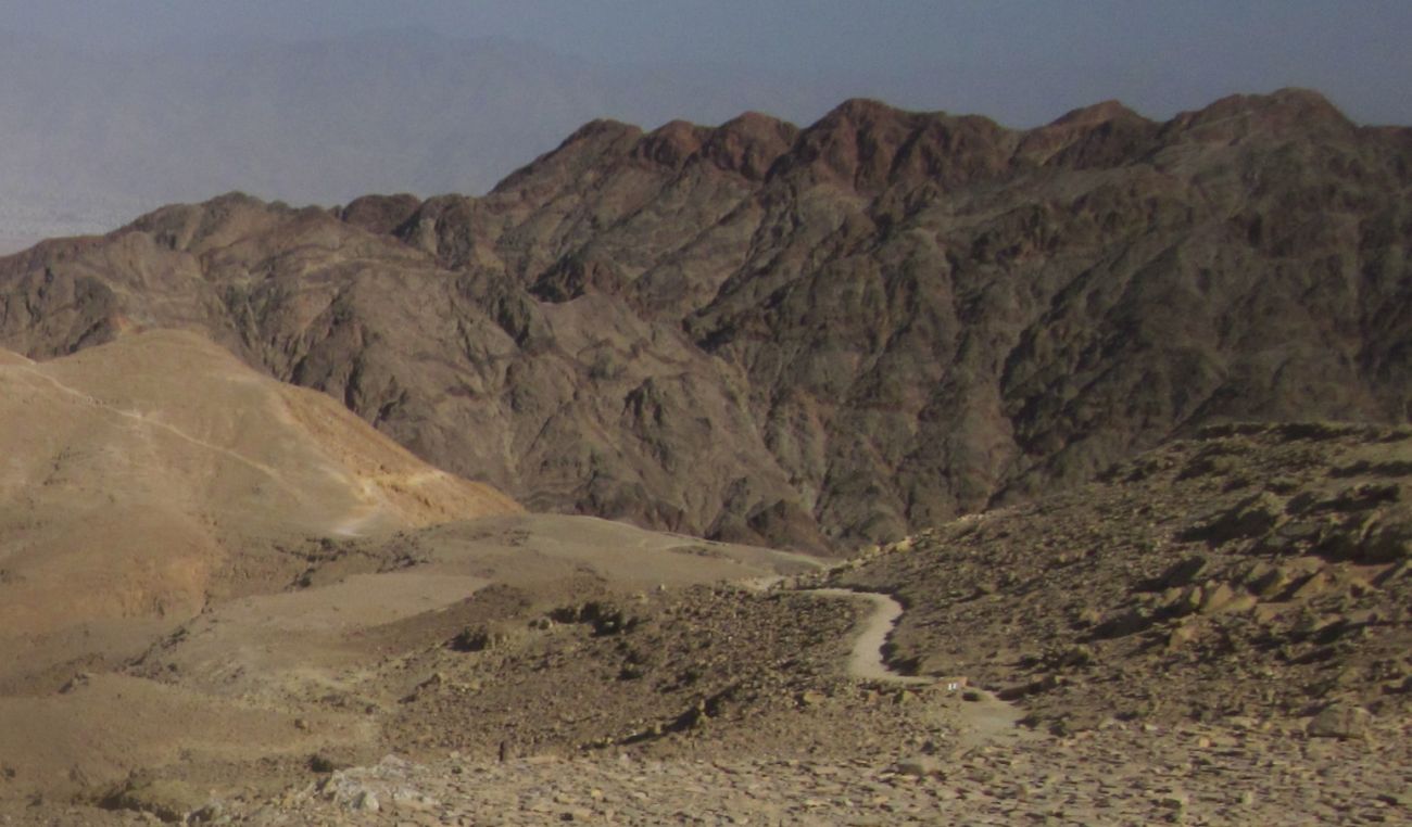
 The black trail going down towards the south. Mount Shlomo is behind and left in this picture.
I showed this to Don, and we sat there together with Taffy besides us. While Don calmed down, I realized that I had to climb this damn mountain. I couldn't let my fear rule the day even though the ascent was a detour, and the sun was getting low. Don didn’t argue with me, we put Taffy on a leash so he couldn't follow.
Don and Taffy resting below as I'm climbing Mount Shlomo
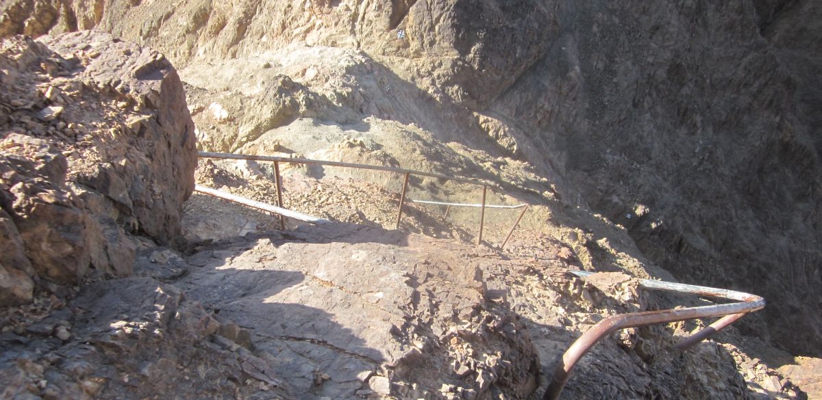
I took a long swig of water, left everything with Don, and carried only the camera in my pocket. Then I basically Jogged up the trail. The first ¾ of the ascent was not difficult, though the drops on both sides were progressively more impressive. The last part up to the peak entailed climbing some difficult areas, but there were handrails and staples to help.
 Handrails help the last part of the climb to the top of Mount Shlomo
I reached the summit in 20 minutes. I spent 5 minutes on the top taking pictures 360 degrees around, and catching my breath. Then I started down (I climbed a mountain and I turned around!). Going down is always harder for me, and at one point I inadvertently missed the trail and found myself with a massive drop in front of me. I carefully backtracked, found the blaze for the trail and more carefully continued down. When I rejoined Don it was 4:45. I'd climbed Mt. Shlomo in an hour and I felt I could doanything.
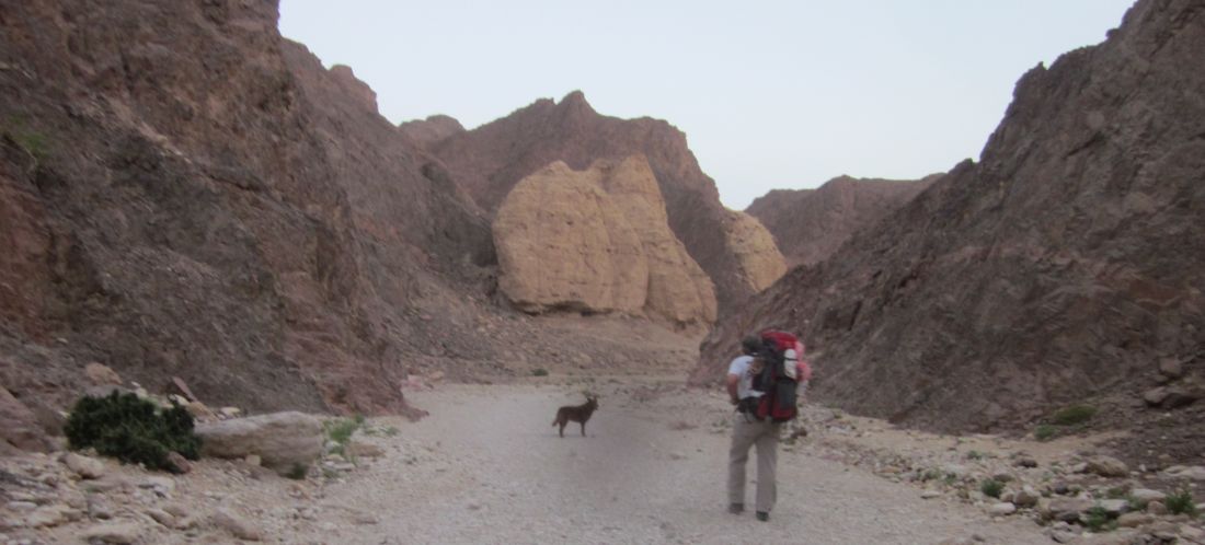
We continued on the black trail and for a few minutes Don was still nervous, but the trail was nice and soon we were strolling easily together with the massive black slab behind us and on our left. We entered a wadi with scattered Acacia trees and bushes that felt like an oasis after the barren landscape we'd traversed all that afternoon.
 Don and Taffy near our tent. Our last night camp before we reached Eilat
We found a sandy river bed with a short cliff on one side and a tree on the other to make our camp. Don cooked us instant lentil stew (majadra) for dinner while we talked about every place on the trail where we had camped. We felt it deeply that this was our last night before reaching Eilat.
That night we slept with the tent open and several times I awoke and watched my old friend the big dipper make his way around the sky.
We woke before dawn and were already walking before first light. The great dilemma (in my eyes) for this last day was: on which trail would we hike down to Eilat? It was important for me to get back on the Israel Trail, but I was deeply worried that we'd be going against the security rules and get yelled at or even in trouble, also Don wanted to go on the direct and simple red trail which was a dirt road straight down. With some back and forth between us I convinced Don (he didn't want an emotional scene) that we should try to get back on the Israel Trail, but it wasn't so simple. There was construction going on, with new dirt roads bringing access for building the security fence on the border with Egypt. 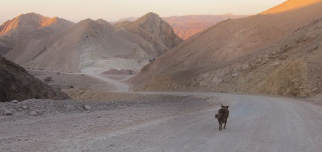
Our map was useless, but Don has a sixth sense about getting places. For about 20 minutes we walked on various newly made dirt roads until Don found a trail going south.
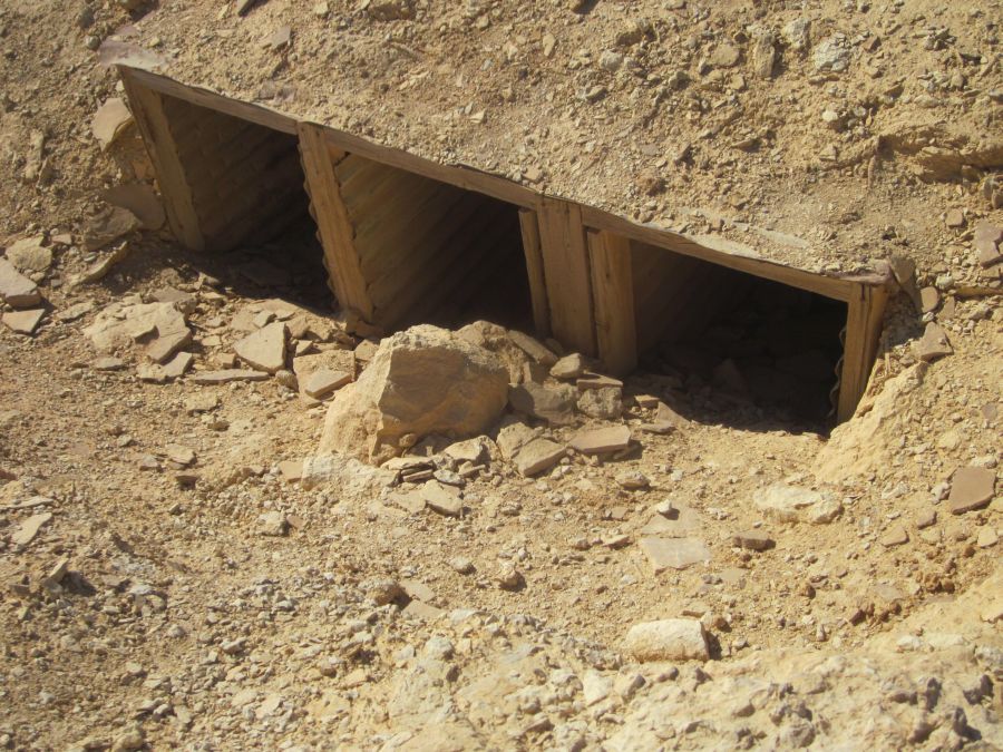
 Army outpost, nobody there. Border fence with Egypt in the distance.
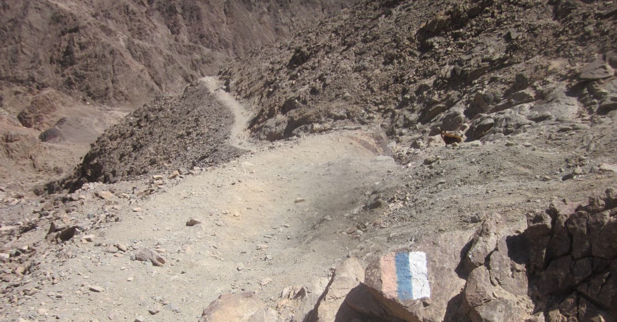
We walked steeply up and found ourselves on a ridge next to an army outpost. My heart started racing thinking someone would come running up and tell us the way was closed, but we soon realized that no one was there. To the south on the other side of a steep valley was the new border fence with Egypt. We walked on the path going east and there ahead was the tricolor blaze of the Israel Trail.
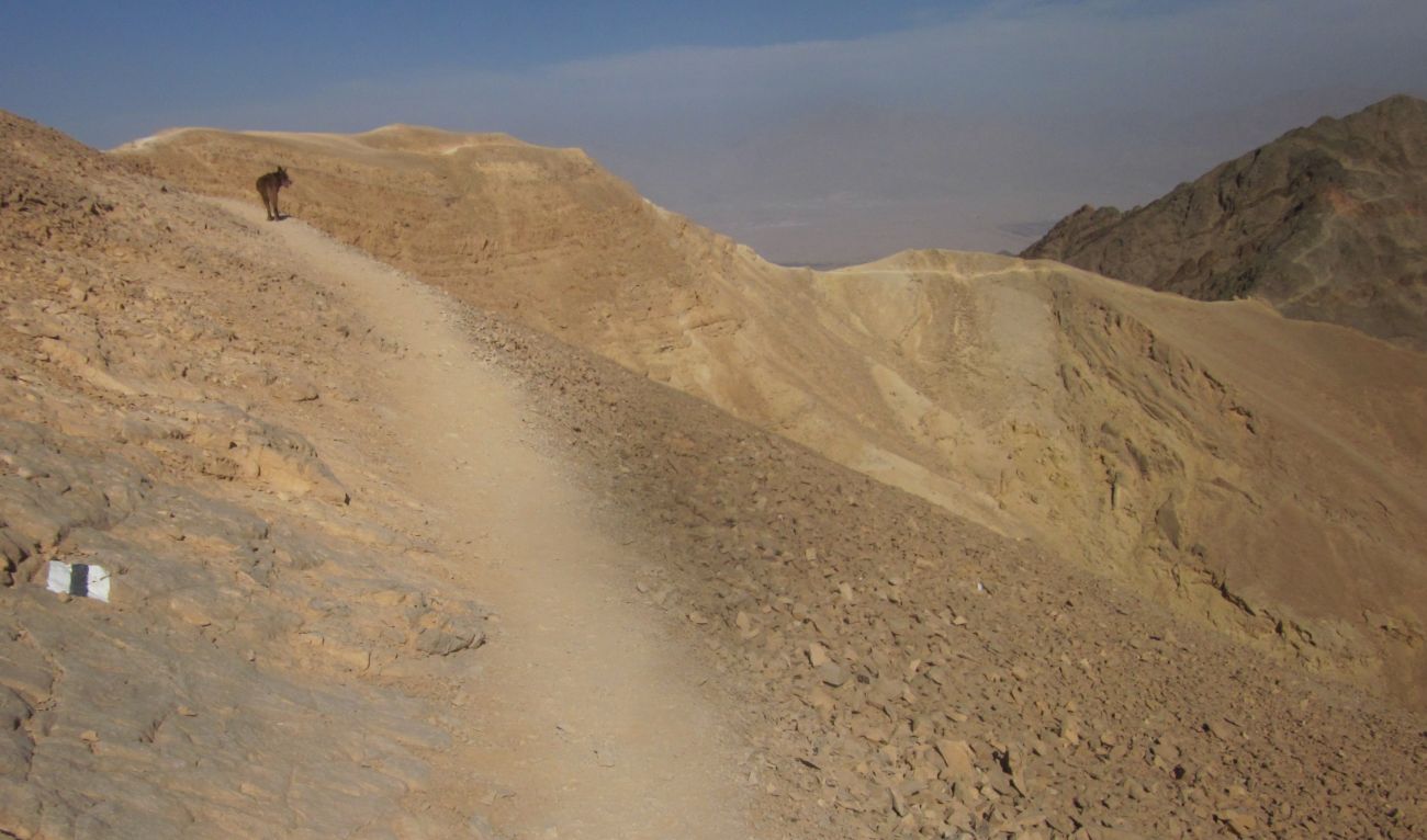
 Diana and her beloved Israel Trail
I was still nervous that we'd be ordered off, but it seemed more likely now, that this area was open since the security fence was finished here. I started to believe that I would get my wish to end the hike on the official trail.
We walked on a smooth path over a rugged terrain high on the ridge with the border of Egypt in plain view to the south. We approached another empty look-out post that had an awning, and there in its shade, looking south towards Egypt, we rested and ate our breakfast of steaming hot, sweet, strong tea, and granola. As we ate a group of soldiers came up in a humvee, and I thought, “OK we're in for it now.” But instead a very handsome captain with 3 bars on his shoulders came up to us. He started petting Taffy and asking us what we were doing. He was properly impressed that we were finishing the trail that very day. He insisted that we remain where we were and finish our breakfast in comfort. When we had finished breakfast and were walking away, we saw that he and his group were setting up the site for a visit from some mucky muck high in the government who no doubt wanted to see the progress made on the high tech border fence.
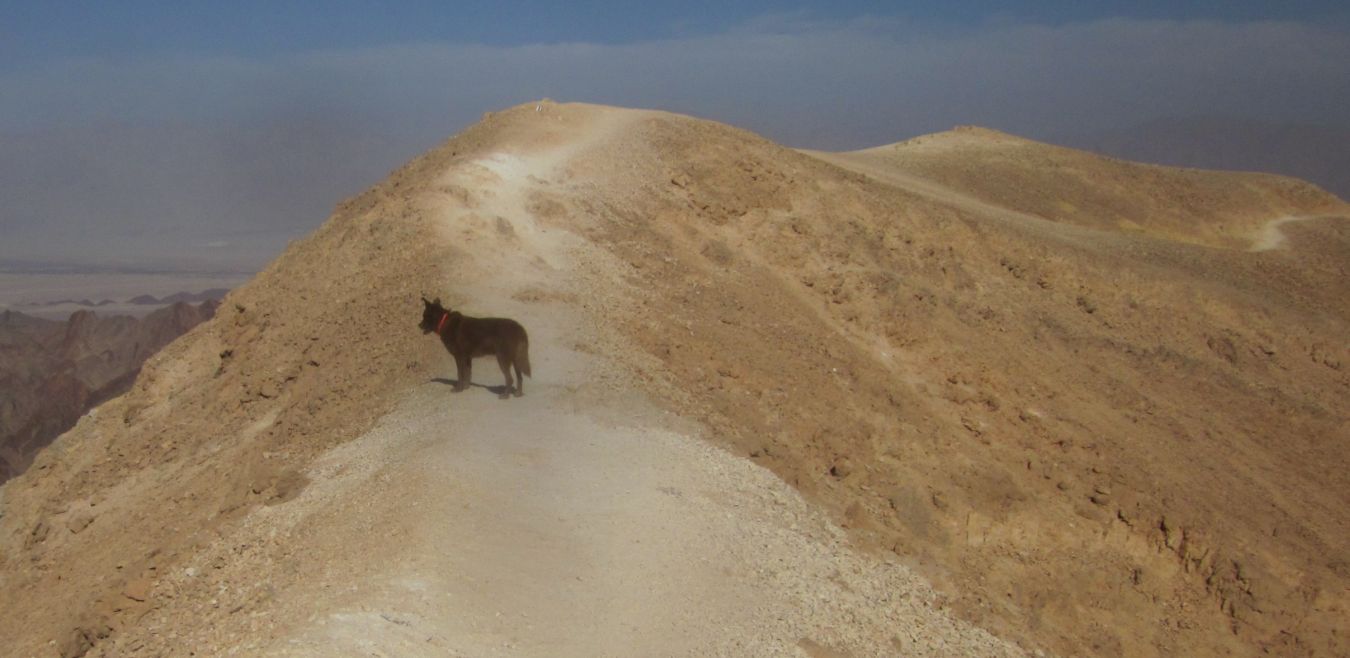
 Taffy on the Israel Trail, Red Sea in the background
The trail stayed on the ridge (much to Don’s relief there was no major climbs), though there were some formidable drops on both sides. We then passed several groups of hikers who had just started hiking the Israel Trail that morning, going north. They were all clean and shiny, but several of them already seemed ready to quit. It is a long long climb out of Eilat. We took their pictures and they took ours.
While we walked I called our son Ben to make sure that I knew the correct words to the prayer – the Shehecheyanu (שהחינו, "Who has given us life") – that I wanted to say when we finished. Amazing and strange that in the high places, even in the wilderness, a person in Israel can connect to the world.
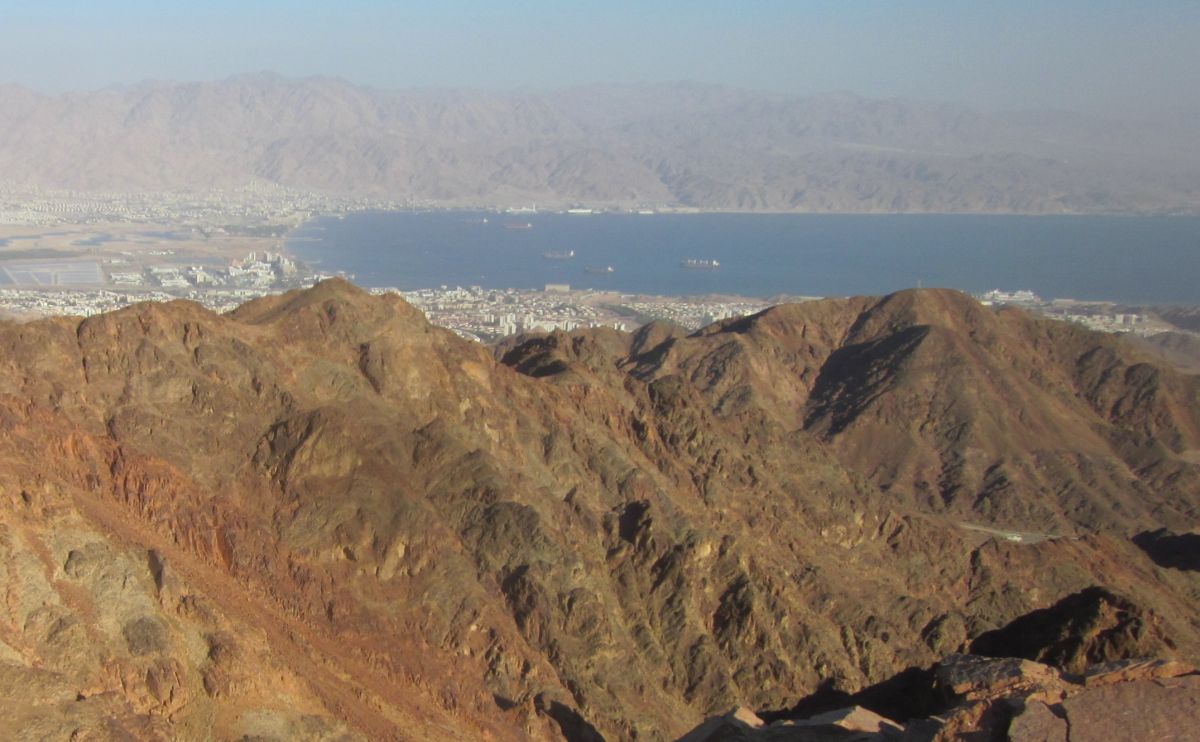
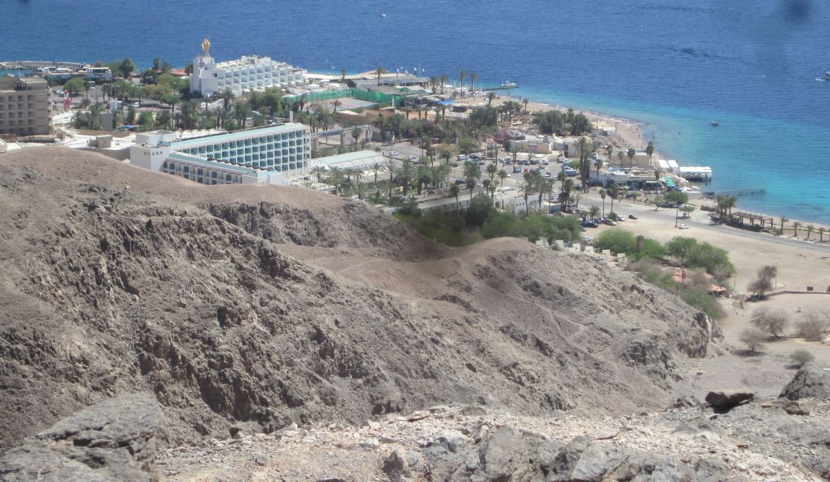
The trail left the ridge and went down into a gentle wadi, then climbed steeply up and up … and there suddenly was a view of the Red Sea and Eilat directly below us. We could see the hotel where we would stay that night. It seemed like you could just jump down there, but there was a steep, tricky climb down the mountain, and finally onto a rounded shoulder. Taffy trotted ahead of us, and Don and I held hand as we walked the last stretch to Eilat.
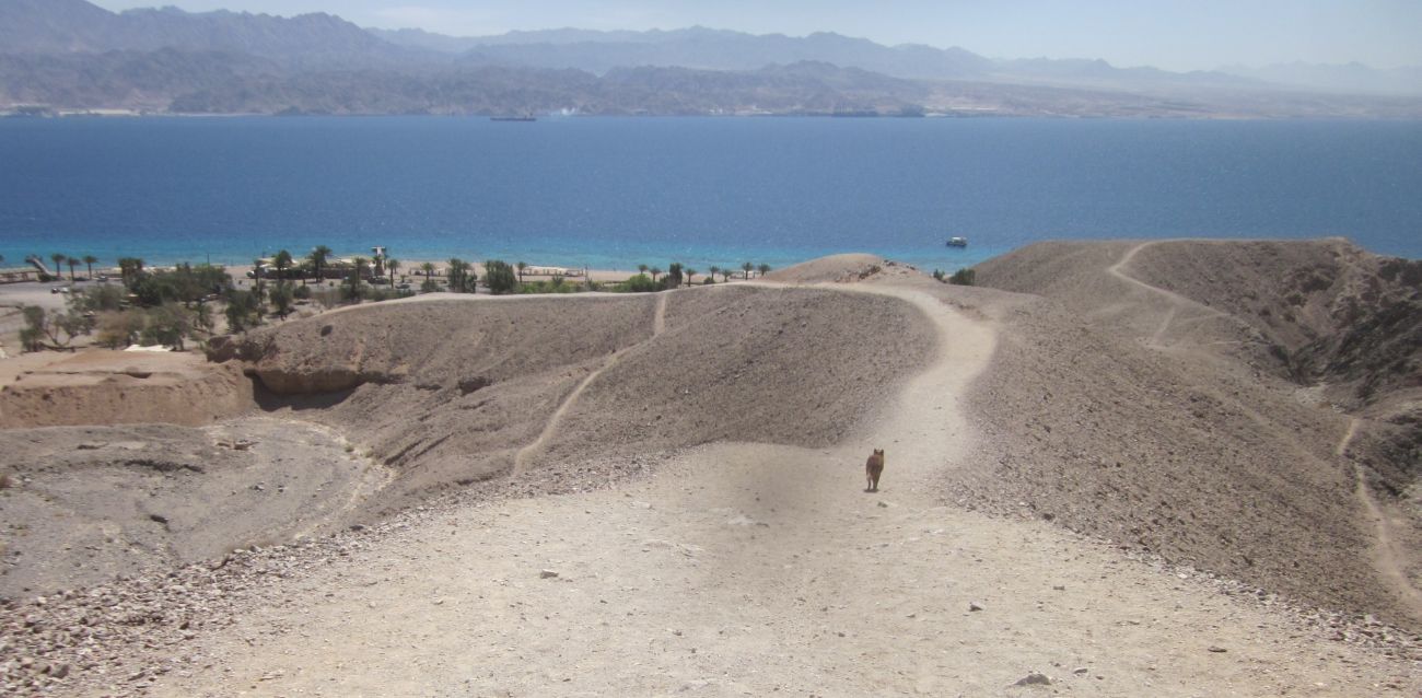 We walked hand in hand down to Eilat with Taffy trotting ahead of us
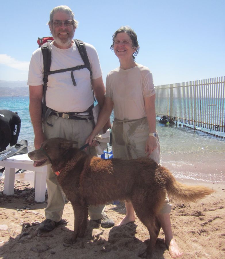
We found ourselves at the coral reserve park. We strolled towards our hotel and the free beach next to it. There at the beach we walked into the water and said the blessing.